
Country Thailand Time zone THA (UTC+7) Area 138.3 km² Geocode 9610 | Seat Su-ngai Kolok Postal code 96120 Province Narathiwat Province | |
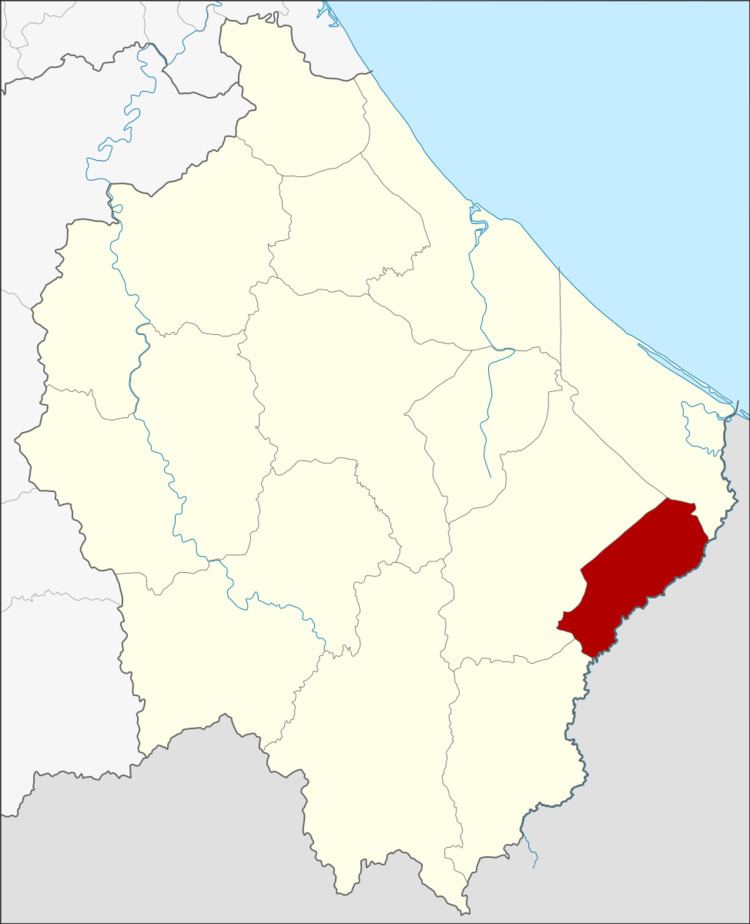 | ||
Su-ngai Kolok (Thai: สุไหงโก-ลก) is a district (amphoe) of Narathiwat Province, southern Thailand.
Contents
Map of Su-ngai Kolok District, Narathiwat, Thailand
History
The minor district (King Amphoe) was created on January 1, 1948, consisting of the three tambon Su-ngai Kolok, Puyo and Pasemat from Su-ngai Padi district and Muno from Tak Bai district. In 1953 it was upgraded to a full district.
Geography
Neighboring districts are (from the southwest clockwise) Waeng, Su-ngai Padi and Tak Bai. To the southeast is the state Kelantan of Malaysia.
The main water resource is the Kolok River.
Administration
The district is subdivided into 4 subdistricts (tambon), which are further subdivided into 19 villages (muban). Su-ngai Kolok itself has town (thesaban mueang) status and covers most parts of the same-named tambon.
References
Su-ngai Kolok District Wikipedia(Text) CC BY-SA