
Time zone EET (UTC+2) Population 563 (2012) | Elevation 140 m (445 ft) Postal code 33600 Area code 0324 | |
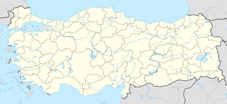 | ||
Suçatı is a village in Mut district of Mersin Province, Turkey. It is situated to the west of the Göksu River at 36°37′N 33°22′E on the highway D-740 which connects Mut to Ermenek. Its distance to Mut is 15 kilometres (9.3 mi) and to Mersin is 180 kilometres (110 mi). Population of Suçatı was 563 as of 2012. Olive production and cattle breeding are the main economic activities of the village.
Map of Su%C3%A7at%C4%B1 Mahallesi, 33600 Mut%2FMersin Province, Turkey
References
Suçatı, Mut Wikipedia(Text) CC BY-SA