
Population 700 (2012) Post town PETERHEAD Local time Wednesday 10:38 PM | OS grid reference NJ973459 Sovereign state United Kingdom Postcode district AB42 Dialling code 01771 (Mintlaw) | |
 | ||
Weather 7°C, Wind S at 21 km/h, 99% Humidity | ||
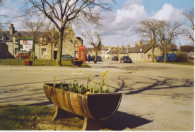
Stuartfield is a small inland village in the Buchan area of Aberdeenshire, Scotland, situated 1.8 kilometres (1.1 mi) south of Old Deer. It was formerly known as Crichie, and the name is still used by locals as illustrated by the village association website being crichie.org.[1] The name Crichie derives from the Gaelic word “Creachann”, which means “summit of a rock”.
Contents
Map of Stuartfield, Peterhead, UK
Services
Stuartfield has many services for the locals such as a local inn -The Crichie Inn, a primary School, butcher, grocery store, Garage, Garden, Machinery shop and Park. Although Stuartfield was once very small it is currently expanding with new houses being built on two separate plots of land.
Activities
The village has many activities to offer for children and adults alike. Such as Highland Dancing, Woman's Badminton, Rainbows, The Community Association and The Pleasure park Committee, and of course the local pub the Crichie Inn.
History
The local vicinity is rich with prehistory as well as historical features. Somewhat to the south of Stuartfield are a number of prehistoric monuments including Catto Long Barrow, Silver Cairn and many tumuli. In that same vicinity of the Laeca Burn watershed is the point d'appui of historic battles between invading Danes and indigenous Picts.
Crichie was the birthplace of John Leslie (bishop of Clogher) in 1571.