
Car plates FMI Area 1,388 km² Population 58,609 (2014) | ||
 | ||
Gminas Total 6Gmina BledzewGmina MiędzyrzeczGmina PrzytocznaGmina PszczewGmina SkwierzynaGmina Trzciel Points of interest Festungsfront Oder‑Warthe‑Bogen, Muzeum Regionalne, Zamek w Międzyrzeczu, Centrum Rekreacyjno‑wypoczynkowe RELAKS, Muzeum „Dom Szewca | ||
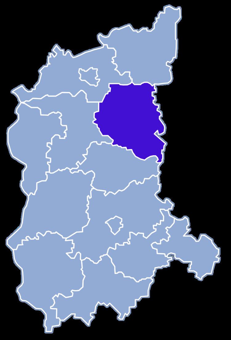
Międzyrzecz County (Polish: Powiat międzyrzecki) is a unit of territorial administration and local government (powiat) in Lubusz Voivodeship, western Poland. It came into being on January 1, 1999, as a result of the Polish local government reforms passed in 1998. Its administrative seat and largest town is Międzyrzecz, which lies 48 km (30 mi) south-east of Gorzów Wielkopolski and 67 km (42 mi) north of Zielona Góra. The county also contains the towns of Skwierzyna, lying 19 km (12 mi) north of Międzyrzecz, and Trzciel, 25 km (16 mi) south-east of Międzyrzecz.
Contents
Map of Mi%C4%99dzyrzecz County, Poland
The county covers an area of 1,387.83 square kilometres (535.8 sq mi). As of 2014 its total population is 58,609, out of which the population of Międzyrzecz is 18,487, that of Skwierzyna is 9,851, that of Trzciel is 2,481, and the rural population is 27,790.
Neighbouring counties
Międzyrzecz County is bordered by Strzelce-Drezdenko County to the north, Międzychód County to the north-east, Nowy Tomyśl County to the east, Świebodzin County to the south, Sulęcin County to the west and Gorzów County to the north-west.
Administrative division
The county is subdivided into six gminas (three urban-rural and three rural). These are listed in the following table, in descending order of population.