
OS grid reference TQ311881 Postcode district N4 | Sovereign state United Kingdom Dialling code 020 | |
 | ||
Population 11,758 (2011 census.Ward) Similar Havering Country Park, Bowes Park railway st, Riddlesdown railway station, Highgate Wood, Grange Hill tube station | ||
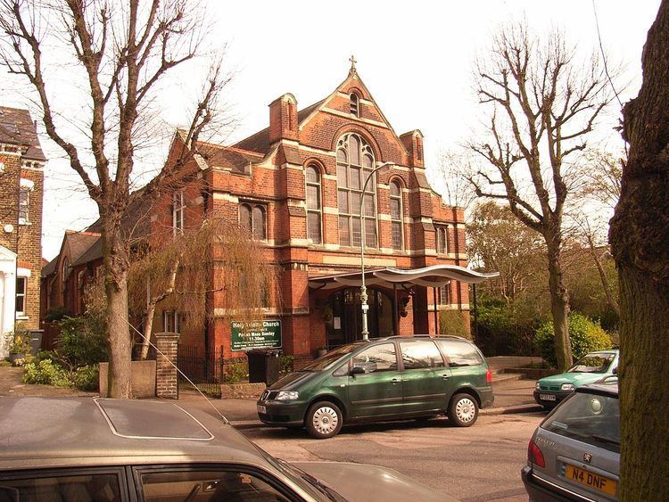
Stroud Green is the name of a suburb (and administrative ward) located adjacent to Finsbury Park in north London, England. Stroud Green ward is within the London Borough of Haringey. On its south-western side the Stroud Green Road forms part of the boundary with the London Borough of Islington. Thus, the adjacent areas of Islington are sometimes referred to as Stroud Green.
Contents
- Map of Stroud Green Rochford UK
- La fabrica restaurant in stroud green london uk serving spanish food and wine
- Toponymy
- Stroud Green Road
- Library
- Transport
- References
Map of Stroud Green, Rochford, UK
Stroud Green Road is the main local hub and shopping area for residents. At its eastern end it intersects Seven Sisters Road and Blackstock Road at a major crossroads. Stroud Green Road is a populous thoroughfare linking the area of Crouch Hill with the major north London transport interchange of Finsbury Park station.
La fabrica restaurant in stroud green london uk serving spanish food and wine
Toponymy
In 1407 the area was called Strode, which is formed from the Old English 'stōd' and means 'marshy ground covered with brushwood'. It is recorded as Stowde Grene in 1546, the 'grene' suffix is Middle English and means 'village green'.
Stroud Green Road
The neighbourhood high street, Stroud Green Road, includes a wide range of restaurants and other mainly independent shops. There are also two high-street supermarkets.
The Finsbury Park end of the road, though different in character to the stretch further north, is currently benefitting from a large regeneration scheme centred on Finsbury Park town centre.
The folk record label Topic Records was based at 48–50 Stroud Green Road and many folk LPs were recorded there. The label has since moved to Uppingham in Rutland.
Library
In the east of the neighbourhood, next to Harringay railway station is the Stroud Green & Harringay Library.
Transport
Stroud Green Road runs north west from the transport hub of Finsbury Park station, and stops just 150 yards south east of Crouch Hill railway station on the Gospel Oak to Barking line. On the eastern border of Stroud Green is Harringay railway station on the Great Northern Line. London bus routes W3, W7, and 210 run the length of Stroud Green Road, terminating at Finsbury Park. The low railway bridge at Finsbury Park prevents bus routes running directly from areas north of Finsbury Park such as Stroud Green Road directly into central London.
Stroud Green railway station closed in 1954. It was on the Finsbury Park to Edgware line, and along with nearby Crouch End railway station had been planned to be added to the Northern line of London Underground, but World War II intervened.