
OS grid reference NS579627 Sovereign state United Kingdom Postcode district G41, G42 Dialling code 141 | Council area Glasgow | |
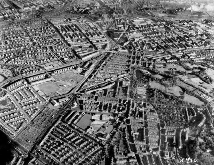 | ||
Strathbungo grew up as a small village built along the Pollokshaws Road, one of the main arteries leading southwards from the centre of Glasgow, adjoined by the Camphill Estate, now part of Queens Park. Strathbungo lay just inside Govan parish, on its boundary with Cathcart parish, and at one time a line just north of Allison Street and Nithsdale Street formed the boundary or 'march' between the counties of Lanark and Renfrew.
Map of Strathbungo, Glasgow, UK
The feudal superiors, the Maxwells of Pollok, preferred the name Marchtown. This name is seen on some old maps, and survives in March Street.
The words 'Strathbungo Cross' appear on a tenement at the corner of Allison Street and Pollokshaws Road, but no satisfactory explanation has ever been given for the name Strathbungo, as 'Strath' (from Scottish Gaelic: Srath) is normally prefixed to a river, to name the surrounding area. However, there is no river Bungo. "Bungo" may represent a nasalisation of Mungo, the patron saint of Glasgow, from Srath Mhungain.
Strathbungo developed as a crofters and miners village in the early 18th century. By the end of that century, over 35 families were living in the village and weaving had become the principal occupation.
In 1859 development of a residential suburb to the south west of Strathbungo began, when nos 1-10 Moray Place were built to the design of Alexander Thomson. The other terraces (named, as was Moray Place, after the protagonists in the Battle of Langside fought nearby), Regent Park Square, Queen Square and Princes Square (later renamed Marywood Square), were built from 1862 to 1880, to form a desirable residential suburb. In the 1890s Charles Rennie Mackintosh lived at 27 Regent Park Square. The suburb was extended in 1928-9 to include the red sandstone terraces of Vennard, Thorncliffe and Carswell Gardens. Strathbungo was designated a conservation area in 1973, although the Gardens were later removed and the area extended to include Nithsdale Street and Drive.
In Alexander Thomson’s death notice published in the Glasgow Herald of 23 March 1875, his place of death is described as "1, Moray Place, Regent Park" with no reference to Strathbungo; the residential suburb was initially styled Regent Park, although the area was always more widely known as Strathbungo.
By the 1860s tenement buildings had started to appear, and the last of the original village buildings were lost in the 1890s. The village never achieved burgh status and was annexed to Glasgow in 1891.
Strathbungo railway station opened on 1 December 1877, and closed on 28 May 1962.
The Strathbungo Society helps promote the preservation of the Strathbungo Conservation Area and organises events for local people like 'Bungo at the Bells' at the New Year and the 'Bungo in the Back Lanes' event in June each year which was originally set up to help get people into the lanes in Strathbungo and to highlight the need for the refurbishment of them.