
Country Scotland Area 2,277 km² | Chapman code LKS | |
 | ||
County town Lanark (historic)
Hamilton (modern) | ||
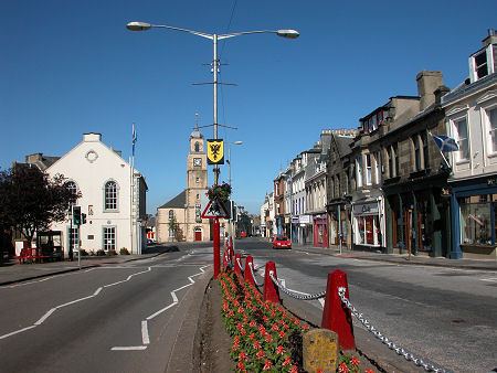
Ancestry genealogy photographs airdrie north lanarkshire scotland
Lanarkshire, also called the County of Lanark (Scottish Gaelic: Siorrachd Lannraig, Scots: Lanrikshire) is a historic county in the central Lowlands of Scotland.
Contents
- Ancestry genealogy photographs airdrie north lanarkshire scotland
- Lanarkshire gets set to welcome the world to scotland
- Mining industry
- Events
- Rivers
- Maps
- References
Historically, Lanarkshire was the most populous county in Scotland and, in earlier times, had considerably greater boundaries, including neighbouring Renfrewshire until 1402. In modern times, it is bounded to the north by Stirlingshire and a detached portion of Dunbartonshire, to the northeast by Stirlingshire, West Lothian, to the east by Peeblesshire, to the southeast and south by Dumfriesshire, to the southwest by Dumfriesshire and Ayrshire and to the west by Ayrshire, Renfrewshire and Dunbartonshire.
Lanarkshire was historically divided between two administrative areas. In the mid-18th century it was divided again into three wards: the upper, middle and lower wards with their administrative centres at Lanark, Hamilton and Glasgow, respectively, and remained this way until the Local Government Act of 1889. Other significant settlements include Coatbridge, East Kilbride, Motherwell, Airdrie, Blantyre, Cambuslang, Rutherglen, Wishaw and Carluke.
In 1975, the county council was abolished and the area absorbed into the larger Strathclyde region, which itself was divided into new Council Areas in 1996. The old area of Lanarkshire is now occupied by the council areas of:
North Lanarkshire and South Lanarkshire have a joint board for valuation and electoral registration. There is also a joint health board, which does not cover Rutherglen and the surrounding area in South Lanarkshire. Without the northern portion of North Lanarkshire, this is also a Lieutenancy area.
Lanarkshire gets set to welcome the world to scotland
Mining industry
From the mid-eighteenth century to the early twentieth century Lanarkshire profited from its rich seams of coal in places such as Glenboig. Unfortunately, as the coal industry developed around Glasgow in the 1700s the price of coal to the city rose under the control of a cartel of coal owners. The solution was to carve out a canal to take advantage of the good (and uncontrolled) coal deposits of the Monklands area. By 1793, the Monklands canal was completed and the Lanarkshire coal industry thrived. The resulting boom lasted for over 100 years but reached its peak by the second decade of the twentieth century and even two world wars failed to halt the contraction. Output in the county continued to fall and the National Coal Board concentrated investment in Ayrshire, Fife and the Lothians. By 1970 there were only four collieries left in Lanarkshire and the closure of Cardowan in 1983 brought the long decline to an end.
Events
Lanarkshire hosted the International Children's Games in August 2011. A total of 1,300 competitors and coaches, along with administrators and delegates, representing 77 cities from 33 countries worldwide attended.
Rivers
Maps
Digitised historic and modern maps of Lanarkshire are available from National Library of Scotland including: