
- elevation 93 m (305 ft) | - elevation 40 m (131 ft) | |
 | ||
- left Beaumonts Stream or Brook, Bishop's Wood Stream, West End Brook, near Mortimer, Burghfield Brook (Lockram Brook) | ||
Foudry Brook is a small stream in southern England. It rises near the Hampshire village of Baughurst named as Beaumonts Stream or Beaumonts Brook.
Contents
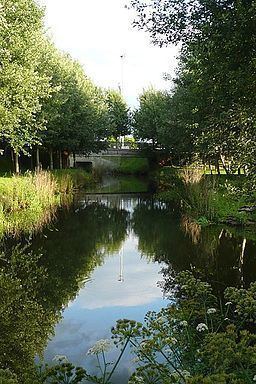
Map of Foudry Brook, United Kingdom
Geography
From Baughurst the brook flows eastwards though Tadley and the Pamber Forest nature reserve; thereafter it turns northeastwards, skirting below and around Silchester Roman Town, and its name changes to Silchester Brook.
Once in Berkshire it adopts its final name of Foudry Brook before flowing through Mortimer and onward towards Swallowfield, here it is prevented by slightly higher ground from joining the River Loddon, so instead it turns north towards Reading.
After passing under the M4 motorway, the stream passes between the Green Park Business Park and the Madejski Stadium and football centre west of Whitley, where it provides the water for the meadow-landscaped lakes. It then passes open under a large roundabout, carries on past Thames Water's main sewage works and A33 road (to the west) and the Brunel Retail Park (to the east), before discharging into the combined River Kennet and Kennet and Avon Canal channel as their easternmost main tributary just east of the main road's Canal Bridge (Numbered 8A). At this point the Kennet adopts the Foudry's direction of north to flow into almost the centre of Reading before resuming a more its eastern direction and flowing into the River Thames downstream of Reading Bridge.
Geology and hydrogeology
Chalk is the major aquifer in the Berkshire area. In the areas underlying Foudry Brook an overlying layer of clay and sand confines the chalk
Foudry Brook has the typical characteristic of clay catchment rivers. It has a very variable flow rates, a low base flow component and a ‘flashy’ nature; it responds quickly to extreme rainfall events due to the impermeable nature of the clay over which it flows and the resulting high surface water runoff.
Ecology
Foudry Brook has a grade of ‘c’ to ‘d’ on the Environment Agency General Quality Assessment (GQA) scheme for biological and chemical quality (with ‘a’ being the highest quality and grade ‘f’ the lowest). This is possibly as a result of treated effluent being discharged into the lower reaches.
The brook is prone to flooding along its length, and this has caused the most problems on the outskirts of Whitley; however, the presence of Water Voles along this stretch of the Brook has hampered efforts to provide improved flood prevention measures.
Pollution
In a prosecution brought by the Environment Agency in 2002, Total Fina Elf UK Ltd was fined a total of £54,000 for causing petrol to enter groundwater and a tributary of the Foudry Brook, from its service station in Tadley, Hampshire. Between January 1999 and March 2001 the petrol station lost between 2,000 and 10,000 litres of fuel into the ground following leaks in an underground petrol tank, and filler and suction lines.
In July 2010 a serious leak from sewage works into the Brook near Silchester caused the death of hundreds of fish and other aquatic organisms on a three-mile stretch of the brook.