
Population 4,773 (2011 census) Country Wales Postcode district NP20 1,4 Dialling code 1633 Principal area Newport | OS grid reference ST307879 Sovereign state United Kingdom Police Gwent Post town Newport | |
 | ||
1 bed flat to rent on 30 stow hill newport gwent south wales np20 by imperial property services
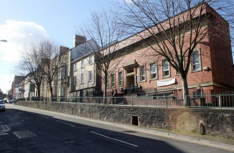
Stow Hill is both an electoral district (ward) and coterminous community parish of the City of Newport, South Wales.
Contents
- 1 bed flat to rent on 30 stow hill newport gwent south wales np20 by imperial property services
- Map of Stow Hill UK
- 2 bed flat to rent on 32 stow hill newport gwent south wales np20 by imperial property services
- City Centre
- References
Map of Stow Hill, UK
It is bounded by the River Usk to the east, George Street and Cardiff Road to the south, the Great Western Main Line to the southwest, Caerau Crescent, Caerau Road, Godfrey Road, Devon Place and Mill Street to the north. The ward contains the districts of St. Woolos and Baneswell. The area is governed by the Newport City Council.
2 bed flat to rent on 32 stow hill newport gwent south wales np20 by imperial property services
City Centre
The ward covers most of the city centre including most of the city's major retailers as well as the centre for nightlife in the city, being home to many of Newport's well-known nightclubs and bars.
The ward also contains Newport Castle on the banks of the River Usk and St. Woolos Cathedral atop Stow Hill itself. It is also the location of Havelock Street Presbyterian Church where, in 1887, The Boys Brigade movement in Wales was founded by George Philip Reynolds. Stow Hill's earliest inhabitant was, according to legend, Saint Gwynllyw.
Apart from the Central Business District of Newport, there is also a significant resident population here in a relatively small area. Much of the housing is made up of rows of densely packed Victorian terraced houses.
Stow Hill has a Communities First team based at The Share Centre.