
County Plumas FIPS code 06-75168 Elevation 544 m Zip code 95980 Area code 530 | Time zone Pacific (PST) (UTC-8) GNIS feature ID 1659883 Area 22 ha Population 4 (2010) | |
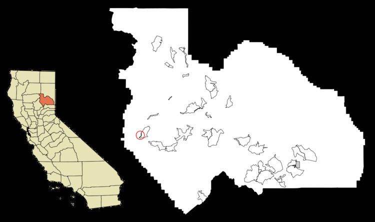 | ||
Storrie is a census-designated place (CDP) in Plumas County, California and about 20 miles northeast of Lake Oroville. As of the 2010 Census, the CDP had a population of four.
Contents
Map of Storrie, CA 95915, USA
Geography
According to the United States Census Bureau, the CDP has a total area of 0.1 square miles (0.26 km2). None of the area is covered with water.
2010
The 2010 United States Census reported that Storrie had a population of 4. The population density was 47.7 people per square mile (18.4/km²). The racial makeup of Storrie was 4 (100.0%) White, 0 (0.0%) African American, 0 (0.0%) Native American, 0 (0.0%) Asian, 0 (0.0%) Pacific Islander, 0 (0.0%) from other races, and 0 (0.0%) from two or more races. Hispanic or Latino of any race were 0 persons (0.0%).
The Census reported that 4 people (100% of the population) lived in households, 0 (0%) lived in non-institutionalized group quarters, and 0 (0%) were institutionalized.
There were 2 households, out of which 0 (0%) had children under the age of 18 living in them, 2 (100%) were opposite-sex married couples living together, 0 (0%) had a female householder with no husband present, 0 (0%) had a male householder with no wife present. There were 0 (0%) unmarried opposite-sex partnerships, and 0 (0%) same-sex married couples or partnerships. 0 households (0%) were made up of individuals and 0 (0%) had someone living alone who was 65 years of age or older. The average household size was 2.00. There were 2 families (100% of all households); the average family size was 2.00.
The population was spread out with 0 people (0%) under the age of 18, 0 people (0%) aged 18 to 24, 0 people (0%) aged 25 to 44, 2 people (50.0%) aged 45 to 64, and 2 people (50.0%) who were 65 years of age or older. The median age was 62.5 years. For every 100 females there were 100.0 males. For every 100 females age 18 and over, there were 100.0 males.
There were 9 housing units at an average density of 107.3 per square mile (41.4/km²), of which 1 (50.0%) were owner-occupied, and 1 (50.0%) were occupied by renters. The homeowner vacancy rate was 0%; the rental vacancy rate was 0%. 2 people (50.0% of the population) lived in owner-occupied housing units and 2 people (50.0%) lived in rental housing units.
2000
As of the census of 2000, there were 5 people, 3 households, and 2 families residing in the CDP. The population density was 57.1 people per square mile (21.5/km²). There were 10 housing units at an average density of 114.2 per square mile (42.9/km²). The racial makeup of the CDP was 100.00% White.
There were 3 households out of which none had children under the age of 18 living with them, 66.7% were married couples living together, none had a female householder with no husband present, and 33.3% were non-families. Individuals make up 33.3% of all households, and none had someone living alone who is 65 years of age or older. The average household size was 1.67 and the average family size was 2.00.
In the CDP, the entire population was spread out from 45 to 64, with a median age of 55 years. For every 2 females there were 3 males.
Politics
In the state legislature, Storrie is in the 1st Senate District, represented by Republican Ted Gaines, and the 1st Assembly District, represented by Republican Brian Dahle.
Federally, Storrie is in California's 1st congressional district, represented by Republican Doug LaMalfa.