
OS grid reference NY795765 Post town HEXHAM Local time Tuesday 3:18 PM | Sovereign state United Kingdom Postcode district NE48 | |
 | ||
Weather 12°C, Wind E at 6 km/h, 71% Humidity | ||
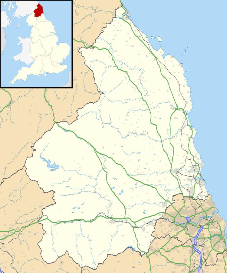
Stonehaugh is a small settlement in Northumberland about 5 miles (8 km) west of Wark on Tyne and 4 Roman miles (6 km) north of Hadrian's Wall. It was purpose-built for housing forestry workers in the 1950s. Mechanisation has reduced the necessity for such concentrated manpower, so the modern population is more diverse. It is located at the edge of the Wark Forest, and the National Cycle Route 68 (the Pennine Cycleway) passes through it. It has a spectacular scenic views and a local artist's totem poles grace the local picnic area.
Contents
Map of Stonehaugh, Hexham, UK
Governance
Stonehaugh is in the parliamentary constituency of Hexham.
References
Stonehaugh Wikipedia(Text) CC BY-SA