
Local time Tuesday 2:54 PM | ||
 | ||
Weather 16°C, Wind SW at 23 km/h, 67% Humidity | ||
Stone is a small village in the parish of Ham and Stone, Gloucestershire, England. The parish population taken at the 2011 census was 711. It is located on the A38 road, just south-west of its crossing of the Little Avon River, roughly halfway between Bristol and Gloucester. (grid reference ST684953) It is adjacent to the county boundary with South Gloucestershire. The part of the community just north-east of the river is called Woodford. To the north lies the village of Newport
Contents
Map of Stone, Berkeley, UK
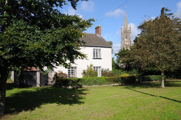
The village of Stone has features that include a Church, a village green, a Church of England primary school, a village hall and a pub named The Berkeley Vale Public House, which has been closed down by its most recent owner.
The village has many strong links with the close town of Berkeley
Governance
The village is part of 'Vale' electoral ward. This ward stretches from Stone north easterly on the line of the M5 motorway to Stinchcombe. The total ward population taken at the 2011 census was 1,879.