OS grid reference SX360744 Sovereign state United Kingdom Local time Tuesday 11:36 AM | Civil parish Stokeclimsland Postcode district PL17 Dialling code 01579 | |
 | ||
Weather 12°C, Wind S at 23 km/h, 84% Humidity | ||
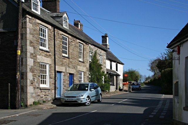
Stoke Climsland is a village in the valley of the River Tamar, Cornwall, England, United Kingdom within the civil parish of Stokeclimsland. The population of the parish including Luckett at the 2011 census was 1,703. An electoral ward in the same name also exists. At the same census the population was 3,703.
Contents
Map of Stoke Climsland, Callington, UK
History
The manor of Climsland was one of the seventeen Antiqua maneria of the Duchy of Cornwall. The manor was recorded in the Domesday Book (1086) as Climson; there were 5 hides of land and land for 24 ploughs. One hide was held by the lord (with 3 ploughs and 9 serfs) and 30 villeins and 30 smallholders had 17 ploughs and 4 hides of land. There were also 3 acres of meadow, 16 square leagues of pasture and 3 square leagues of woodland. The income from the manor was £6 sterling.
In the 12th century, Climsland became part of a 250 hectares (620 acres) Royal Deer Park called Kerrybullock, until it was disparked by Henry VIII in the 16th century.
Notable buildings
The present church building is 15th century, with north and south aisles and a west tower. The tower is of granite and the wagon roofs are medieval. At Horse Bridge on the road to Tavistock is a fine bridge of seven arches (built in 1437). At Whiteford Sir John Call built a Georgian mansion in 1775 but it no longer exists: the stables and a garden temple remain and a few fragments have been reused in a house nearby.
The post office, opened in 1839, is the oldest in the UK.
Sport
The village is also home to a football team, Stoke Climsland FC, which plays in the Cornwall Duchy league.
