
Max. length 5.4 km (3.4 mi) Surface elevation 138 m | Max. width 2.5 km (1.6 mi) Length 5.4 km | |
 | ||
Primary inflows Islands Butternut Island, Grant Island Inflow source Moira River, Clare River, Sulphide Creek | ||
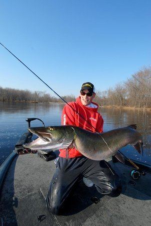
Stoco lake stewardship plan fish hoop net study
Stoco Lake is a lake in the Lake Ontario drainage basin in Tweed, Hastings County, Ontario, Canada.
Contents
- Stoco lake stewardship plan fish hoop net study
- Map of Stoco Lake Tweed ON Canada
- The pursuit chapter 1 stoco lake hd
- References
Map of Stoco Lake, Tweed, ON, Canada
The lake is about 5.4 kilometres (3.4 mi) long and 2.5 kilometres (1.6 mi) wide, and lies at an elevation of approximately 138 metres (453 ft). There are two named islands, Butternut Island and Grant Island, and one named bay, Cosy Cove at the northeast. The primary inflow is the Moira River, at the northwest. Secondary inflows are the Clare River at the east and Sulphide Creek at Cosy Cove at the northeast. The primary outflow is the Moira River, which exits via two channels: the eastern channel, designated the Moira River, and the named Western Channel. The two enclose Sugar Island. There are three settlements on the lake: the village of Tweed at the Moira River inflow at the northwest; Cosy Cove, on the bay Cosy Cove and at the Sulphide Creek inflow at the northeast; and Stoco at the Moira River eastern channel outflow. The Moira River flows into the Bay of Quinte on Lake Ontario at Belleville.