
FIPS code 19-75405 Elevation 229 m Zip code 52651 Local time Tuesday 4:24 AM | Time zone Central (CST) (UTC-6) GNIS feature ID 0462001 Area 2.67 km² Population 291 (2013) Area code 319 | |
 | ||
Weather 8°C, Wind NW at 10 km/h, 94% Humidity | ||
Stockport is a city in Van Buren County, Iowa, United States. The population was 296 at the 2010 census.
Contents
Map of Stockport, IA 52651, USA
Geography
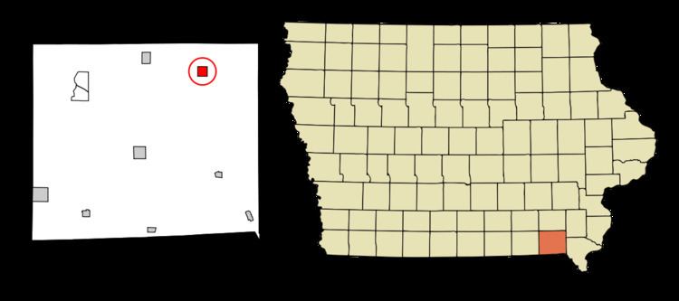
Stockport is located at 40°51′25″N 91°50′0″W (40.856993, -91.833341).
According to the United States Census Bureau, the city has a total area of 1.03 square miles (2.67 km2), all of it land.
2010 census
As of the census of 2010, there were 296 people, 112 households, and 76 families residing in the city. The population density was 287.4 inhabitants per square mile (111.0/km2). There were 127 housing units at an average density of 123.3 per square mile (47.6/km2). The racial makeup of the city was 97.0% White, 0.3% Native American, 1.0% Asian, and 1.7% from two or more races. Hispanic or Latino of any race were 0.3% of the population.
There were 112 households of which 38.4% had children under the age of 18 living with them, 56.3% were married couples living together, 6.3% had a female householder with no husband present, 5.4% had a male householder with no wife present, and 32.1% were non-families. 26.8% of all households were made up of individuals and 13.4% had someone living alone who was 65 years of age or older. The average household size was 2.64 and the average family size was 3.29.
The median age in the city was 33.8 years. 31.1% of residents were under the age of 18; 8.8% were between the ages of 18 and 24; 28.7% were from 25 to 44; 19.3% were from 45 to 64; and 12.2% were 65 years of age or older. The gender makeup of the city was 50.7% male and 49.3% female.
2000 census
As of the census of 2000, there were 284 people, 120 households, and 71 families residing in the city. The population density was 276.4 people per square mile (106.5/km²). There were 133 housing units at an average density of 129.4 per square mile (49.9/km²). The racial makeup of the city was 95.77% White, 0.35% Native American, 3.17% from other races, and 0.70% from two or more races. Hispanic or Latino of any race were 3.52% of the population.
There were 120 households out of which 30.0% had children under the age of 18 living with them, 49.2% were married couples living together, 4.2% had a female householder with no husband present, and 40.8% were non-families. 35.0% of all households were made up of individuals and 20.8% had someone living alone who was 65 years of age or older. The average household size was 2.37 and the average family size was 3.13.
In the city, the population was spread out with 27.1% under the age of 18, 9.2% from 18 to 24, 26.4% from 25 to 44, 21.5% from 45 to 64, and 15.8% who were 65 years of age or older. The median age was 33 years. For every 100 females there were 113.5 males. For every 100 females age 18 and over, there were 120.2 males.
The median income for a household in the city was $28,438, and the median income for a family was $31,563. Males had a median income of $28,375 versus $19,750 for females. The per capita income for the city was $13,389. About 8.3% of families and 10.2% of the population were below the poverty line, including 10.1% of those under the age of eighteen and 20.6% of those sixty five or over.