Time zone CET/CEST (UTC+1/+2) Area 56.7 km² Local time Tuesday 10:12 AM | Elevation 18 m (59 ft) Postal codes 23612, 23617 Population 16,641 (31 Dec 2008) Dialling code 0451 | |
 | ||
Weather 9°C, Wind S at 5 km/h, 72% Humidity | ||
Stockelsdorf is a municipality in the district of Ostholstein, in Schleswig-Holstein, Germany. It is situated directly northwest of Lübeck and forms an agglomeration with the easterly town of Bad Schwartau. The municipality contains the villages of Arfrade, Curau, Dissau, Eckhorst, Horsdorf, Klein Parin, Krumbeck, Malkendorf, Obernwohlde and Pohnsdorf.
Contents
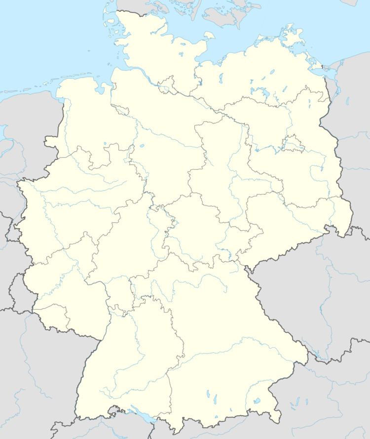
Map of Stockelsdorf, Germany
By measure of population Stockelsdorf is the second largest municipality without town status in Schleswig-Holstein.
References
Stockelsdorf Wikipedia(Text) CC BY-SA
