
Country France Intercommunality Boulonnais Area 3.85 km² Local time Tuesday 6:32 AM Team ESSM Le Portel | Time zone CET (UTC+1) Population 10,720 (1999) | |
 | ||
Weather 8°C, Wind SW at 14 km/h, 95% Humidity | ||
Le Portel is a commune in the Pas-de-Calais department in the Hauts-de-France region of France.
Contents
Map of 62480 Le Portel, France
Geography
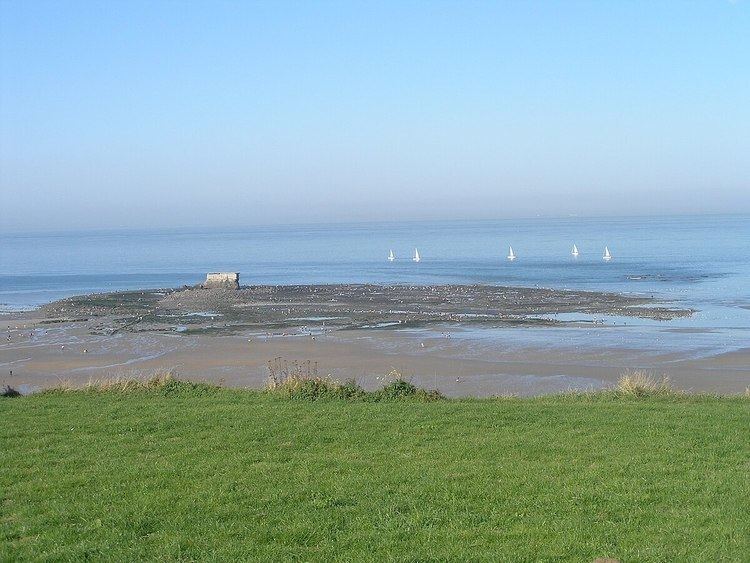
Le Portel is a tourist, fishing and light industrial town situated about 2 miles (3.2 km) southwest of Boulogne town centre, at the junction of the D236 and D119 roads. It has a beach and the white cliffs of the English coast can be seen across the sea on clear days.
History
Le Portel translates as "the little port." The original Le Portel was a hamlet east of the town of Outreau. It became an independent municipality on June 13, 1856 by an imperial decree of Napoleon III.
In the 19th century, flint tools were discovered in the centre of the village, by the river near the Hamel Bridge, evidence of the long occupation of the site. A Gallo-Roman cemetery has been excavated in the hamlet of Châtillon.
Of agricultural origin, it grew rapidly during the 19th century because of fishing, along with the nearby port of Boulogne-sur-Mer. Sailors of Portel were as numerous as those of Boulogne before World War I. In 1841, two Le Portel sailors were on the ship Belle Poule, that brought back the remains of Napoleon.
During the Second World War, on 8 and 9 September 1943, Le Portel suffered as part of Operation Fortitude, a diversionary manoeuvre by the Allies to fool the Germans into believing the possibility of a landing on the English Channel. The bombings, which destroyed nearly 90% of homes, also killed more than 500 people. On 12 August 1944, Charles de Gaulle was at Le Portel for its liberation. The town received the Croix de guerre with silver star for its sacrifice.