
Established 1949 Area 138.8 km² Local time Tuesday 5:12 AM | Municipality City of Matlosana Postal code (street) 2550 Area code 018 PO box 2551 | |
 | ||
Weather 12°C, Wind NW at 10 km/h, 77% Humidity | ||
Stilfontein (Afrikaans for quiet spring) is a mining town with 17,942 inhabitants, situated between Klerksdorp and Potchefstroom in North West Province of South Africa.
Contents
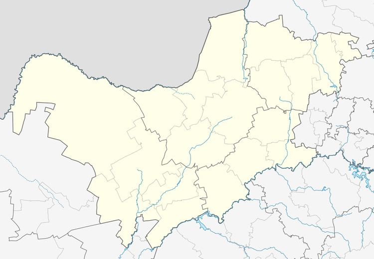
Map of Stilfontein, 2551, South Africa
Stilfontein was established in 1949 as a residential centre for three large gold mines, the Hartebeesfontein, Buffelsfontein and Stilfontein mines.
Stilfontein was struck by a mining-related earthquake on 9 March 2005, which damaged buildings in the town, which was followed by the closure of the Hartebeesfontein and Buffelsfontein mines when the Stilfontein Gold Mining was handed over into liquidation. The Simmer and Jack Mines took over the mines but disaster struck again on 23 March 2006 when a fire trapped 8 miners underground at the Buffelsfontein mine.
Demographics
According to the 2011 Census, the population of Stilfontein was 17,942. The racial distribution was as follows: 84.9% White, 14.2% Black, 0.8% Coloured and 0.1% Asian. The population density was 1,717 persons per km² (663 persons per mi²).