
Isolation 10.3 km (6.4 mi) Prominence 332 m | Elevation 872 m | |
 | ||
Similar Homberg, Hohe Winde, Wasserflue, Grenchenberg, Geissflue | ||
Stierenberg schlittl 2017
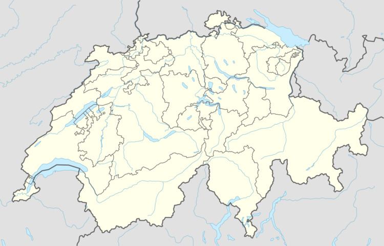
The Stierenberg (872 m) is a wooded mountain north of the Alps, located between the cantons of Aargau and Lucerne, with the summit being within the canton of Aargau. The Stierenberg is the highest summit between the valleys of the Suhre and Aabach.
Contents
Map of Stierenberg, 5737 Menziken, Switzerland
References
Stierenberg Wikipedia(Text) CC BY-SA