
Local time Monday 3:57 PM | ||
 | ||
Weather -2°C, Wind NE at 13 km/h, 50% Humidity | ||
Aerial pano stewart crossing yt canada
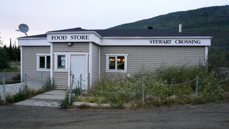
Stewart Crossing is a settlement in Yukon, Canada located on the Stewart River. It is about 179 km east of Dawson City on the Klondike Highway, near the junction with the Silver Trail, from which it is about 53 km (33 mi) southwest of Mayo. A Yukon government highway maintenance camp and a highway lodge are the most prominent facilities at Stewart Crossing. The settlement is named for where the Klondike Highway (or Mayo Road, as it was then known), crossed the Stewart River by means of a ferry from 1950 until completion of a bridge in the mid-1950s.
Contents
Map of Stewart Crossing, Yukon, Canada
Demographics
The settlement had a population of 25 in the 2011 census, a decrease of 28.6% from the 2006 census. The settlement has an area of 28.75 km2 (11.10 sq mi) giving a population density of 0.9 inhabitants per square kilometre (2.3/sq mi).