
OS grid reference TL010013 Unitary authority Dialling code 01525 | Civil parish Steppingley Local time Monday 6:31 PM | |
 | ||
Population 233 (2001)236 (2011 Census) Weather 11°C, Wind NE at 13 km/h, 78% Humidity | ||
The richdale taylor wimpey steppingley gardens flitwick
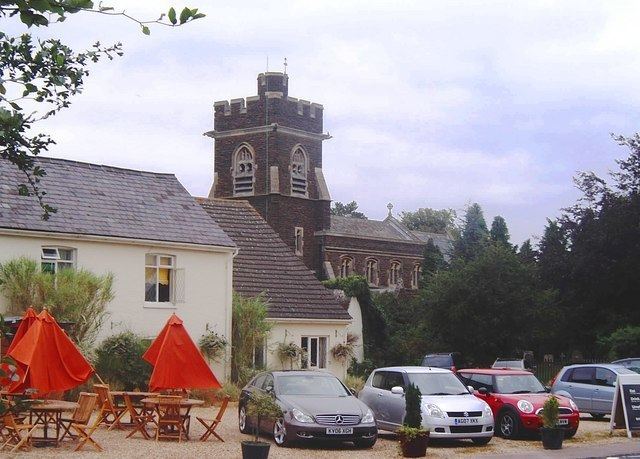
Steppingley is a rural village and civil parish in Bedfordshire, England. It stands on high ground in the centre of a small parish of about 562 ha on the Greensand Ridge and is mentioned in the Domesday Book. It is located close to the nearby towns of Ampthill, Flitwick and Woburn, Bedfordshire.
Contents
Map of Steppingley, Bedford, UK
Much of the surrounding land is part of either Beckerings Park, or the Woburn Estate. The Duke of Bedford influence can be seen in the characteristic style of the numerous workers cottages throughout the village.
Steppingley is a sought after village to live in, with a strong and active sense of community and excellent schools nearby.
It also has good transport links to the M1 (close to junctions 12 and 13) and the First Capital Connect trainline to London (45 mins to St Pancras International) is accessible at nearby Flitwick station (2 miles).
The Steppingley Parish website provides additional information relating to the village: [1]