
Country United States County Rensselaer ZIP codes 12168-12169 Elevation 324 m Local time Monday 1:01 PM | State New York Time zone Eastern (EST) (UTC-5) FIPS code 36-71102 Population 2,903 (2010) Area code 518 | |
 | ||
Weather 3°C, Wind SE at 11 km/h, 91% Humidity Area 150.5 km² (150.2 km² Land / 26 ha Water) | ||
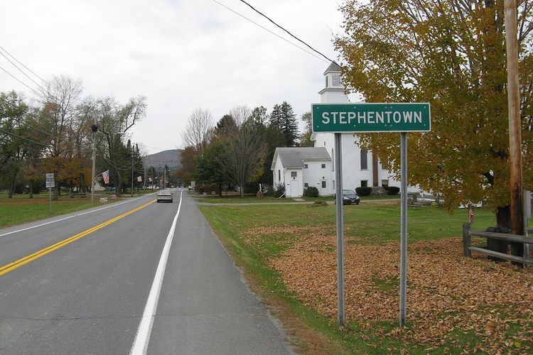
Stephentown is a town in Rensselaer County, New York, United States. The population was 2,903 at the 2010 census. The town, which was originally Jericho Hallow in the Massachusetts Bay Colony, was renamed for Stephen Van Rensselaer. The town is in the southeast corner of the county, and has a sign proclaiming it to be the only Stephentown on Earth.
Contents
- Map of Stephentown NY 12168 USA
- History
- Geography
- Demographics
- Communities and locations in Stephentown
- References
Map of Stephentown, NY 12168, USA
History
Stephentown was first settled around 1765. The town was formed in 1788, from the East Manor of Rensselaerwyck District. The Stephentown pioneers were from New England, primarily Rhode Island and Connecticut.
Geography
According to the United States Census Bureau, the town has a total area of 58.1 square miles (150 km2), of which, 58.0 square miles (150 km2) of it is land and 0.1 square miles (0.26 km2) of it (0.16%) is water. The south town line is the border with Columbia County, New York, and the east town line is the border of Massachusetts. The western and central portions of the town are part of the Rensselaer Plateau.
Demographics
As of the census of 2010, there were 2,903 people, 1,141 households, and 838 families residing in the town. The population density was 49.8 people per square mile (19.1/km²). There were 1,339 housing units at an average density of 23.1 per square mile (8.9/km²). The racial makeup of the town was 96.7% White, 0.31% African American, 0.21% Native American, 0.14% Asian, 0.07% Pacific Islander,and 0.77% from two or more races. Hispanic or Latino of any race were 3.11% of the population.
There were 1,141 households out of which 35.5% had children under the age of 18 living with them, 59.5% were married couples living together, 8.2% had a female householder with no husband present, and 27.2% were non-families. 21.0% of all households were made up of individuals and 7.2% had someone living alone who was 65 years of age or older. The average household size was 2.54 and the average family size was 2.94.
In the town, the population was spread out with 25.7% under the age of 18, 6.8% from 18 to 24, 31.1% from 25 to 44, 26.1% from 45 to 64, and 10.4% who were 65 years of age or older. The median age was 38 years. For every 100 females there were 96.0 males. For every 100 females age 18 and over, there were 99.3 males.
The median income for a household in the town was $59,769, and the median income for a family was $61,347. Males had a median income of $31,535 versus $26,611 for females. The per capita income for the town was $25,352. About 5.7% of families and 6.6% of the population were below the poverty line, including 9.0% of those under age 18 and 7.0% of those age 65 or over.