
Time zone CET/CEST (UTC+1/+2) Area 18.03 km² Local time Monday 9:48 AM Dialling code 035951 | Elevation 394 m (1,293 ft) Postal codes 01904 Population 3,262 (31 Dec 2008) Postal code 01904 | |
 | ||
Weather 7°C, Wind S at 3 km/h, 53% Humidity | ||
Steinigtwolmsdorf is a municipality of about 3419 inhabitants. It is situated in eastern Germany in the district of Bautzen in Saxony near the border to the Czech Republic. The community covers a surface of about 18.03 square kilometers and has a density of population of about 190 inhabitants per km^2.
Contents
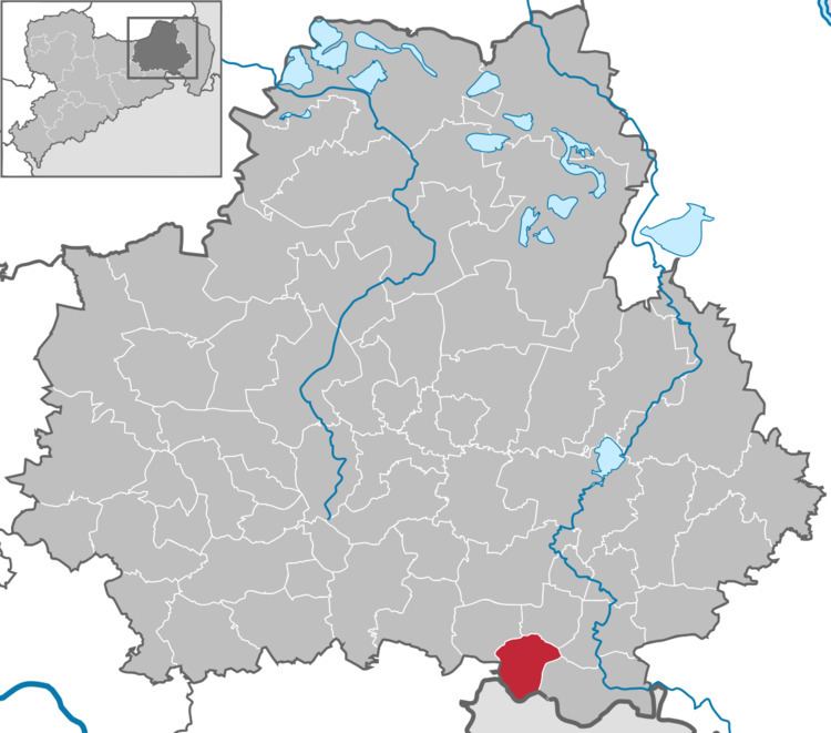
Map of Steinigtwolmsdorf, Germany
Geography and traffical situation
Steinigtwolmsdorf is in the southern part of the district of Bautzen. It is about 16 km apart from the city of Bischofswerda and about 19 km apart from the city of Bautzen. It is near the federal highway (Bundesstrasse) B98, that is between Bischofswerda, Oppach and Zittau. The next railway-station can be found in Neukirch (Lausitz) at the railway-connection between Dresden and Liberec.
Parts of the community
The community consists out of three parts: Steinigtwolmsdorf, Ringenhain and Weifa. The central village of the community has been founded in 1250. The most important sight is the church from 1861 and some Umgebindehäuser. In one part of the community called "Ringenhain" there can be found the smallest Umgebindehaus of the whole upper Lusatia. The small village of Weifa, the highest of all villages in whole upper Lusatia and also unique as being a free village since hundreds of years.