
Elevation 431 m (1,414 ft) Area 9.72 km² Local time Monday 9:20 AM Dialling code 07157 | Time zone CET/CEST (UTC+1/+2) Population 6,075 (31 Dec 2008) Postal code 71144 Administrative region Stuttgart | |
 | ||
Weather 6°C, Wind E at 8 km/h, 55% Humidity | ||
Steinenbronn is a town in the district of Böblingen in Baden-Württemberg in Germany. The district has one public school and five kindergartens. The east side is industrial while the west side of the town is rather urban.
Contents
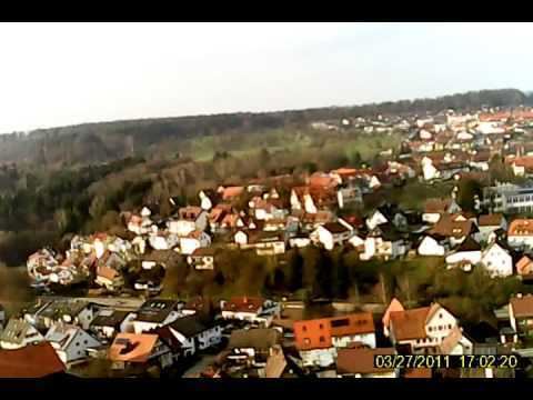
- Map of Steinenbronn Germany
- Geography
- Mayor
- Municipal Council
- Infrastructure
- Education
- Twin towns
- References
Map of Steinenbronn, Germany
Geography
Steinenbronn lies on the edge of the Nationalpark Schönbuch at the old trade route Stuttgart - Tübingen, five kilometers south of Leinfelden-Echterdingen, three kilometers north of Waldenbuch and five kilometers east of Schönaich.
Mayor
since the end of World War II:
Municipal Council
Elections in May 2014:
Infrastructure
From 1928 to 1965 Steinenbronn was part of the Siebenmühlentalbahn (Leinfelden-Waldenbuch). Today Steinenbronn is connected to the mass transit of Stuttgart. Steinenbronn is located at the former Bundesstraße 27, now Landstraße 1208 which connects Stuttgart and Tübingen.
important Distances:
Education
Steinenbronn is the seat of a secondary school with more than 400 students.