
Elevation 498.5 m (1,635 ft) Area 1,115 km² | ||
 | ||
Parent range Franconian Keuper-Lias Plains | ||
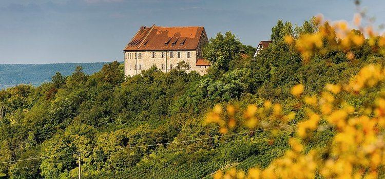
Der franke baumwipfelpfad steigerwald bei ebrach
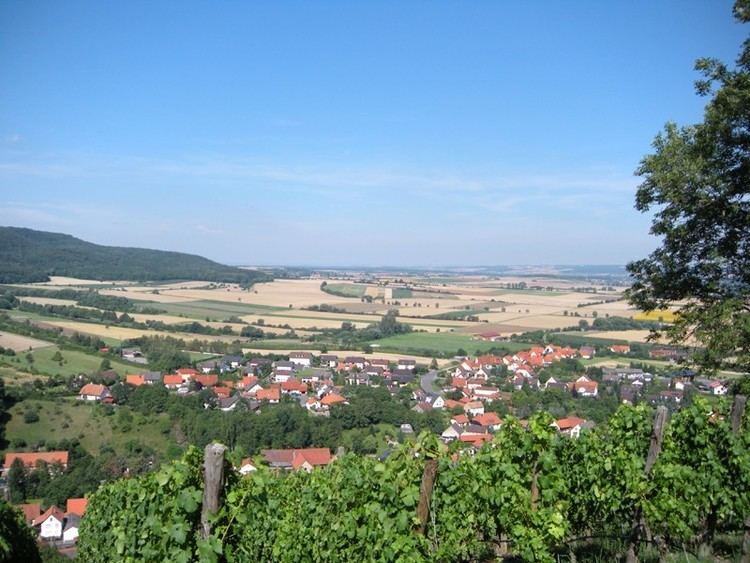
The Steigerwald is a hill region up to 498.5 m above sea level (NHN) in the Bavarian-Franconian part of the South German Scarplands between Würzburg and Nuremberg. It is part of the Keuper Uplands and, within it, it is continued to the north-northeast and right of the River Main, by the Haßberge, and to the south-southwest by the Franconian Heights. Part of the region is a designated as the Steigerwald Nature Park.
Contents
- Der franke baumwipfelpfad steigerwald bei ebrach
- Paul steigerwald s hobey baker joke
- Location
- Natural regions
- Hills
- Rivers
- Transport
- Viticulture
- Nature park and nature reserves
- National park and world heritage discussions
- References
Paul steigerwald s hobey baker joke
Location
The Steigerwald lies at the junction of the Bavarian provinces of Lower, Middle and Upper Franconia, the tripoint being marked by the Dreifrankenstein. It is located between the cities of Bamberg, Schweinfurt, Würzburg and Nuremberg. In the north it is bounded by the course of the River Main and, in the east, by the River Regnitz. Its southern boundary is formed by the River Aisch and, in the west, by the Main again and a line from Marktbreit via Uffenheim to Bad Windsheim.
The Steigerwald covers the territories of six counties: Bamberg, Erlangen-Höchstadt, Haßberge, Kitzingen, Neustadt an der Aisch-Bad Windsheim and Schweinfurt.
Natural regions
The Steigerwald is divided into the following natural regions:
Hills
Among the hills and high points of the Steigerwald are the following – sorted by height in metres (m) above sea level (NHN) (unless otherwise stated these are based on ):
Rivers
Due to the steep slopes on its western side, most of the larger rivers rising in the Steigerwald flow in an easterly or southeasterly direction. They do not usually flow directly into the River Main in the northeast, but empty either into the Regnitz in the east or its tributary, the Aisch, which flanks the Steigerwald in the southeast and forms a natural dividing line with the heights of the Franconian Heights.
The following rivers and streams rise in the Steigerwald and flow in an easterly direction (arranged north to south):
Transport
The main transport arteries passing by the Steigerwald are the A 70 in the north, the A 7 in the west and the A 73 in the east. Crossing the hills and nature park is the A 3, the main road link between Frankfurt, Würzburg and Nuremberg, and the federal roads of the B 22, B 286 and B 8.
A tourist route, the Steigerwald High Road (Steigerwald-Höhenstraße), crosses the Steigerwald in a north-south direction.
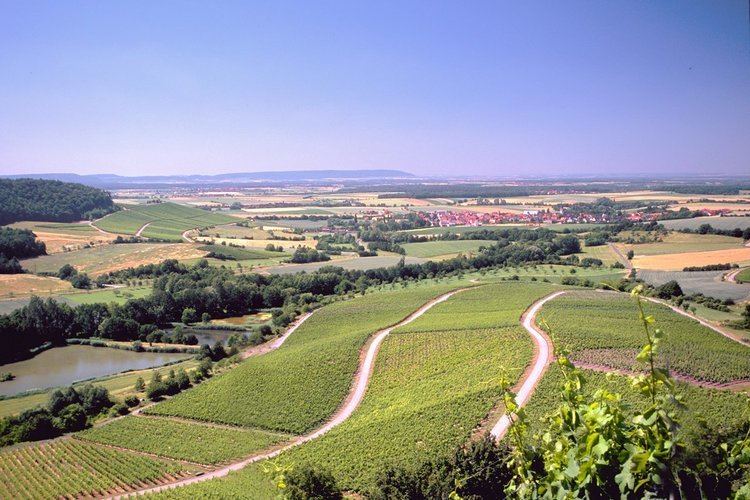
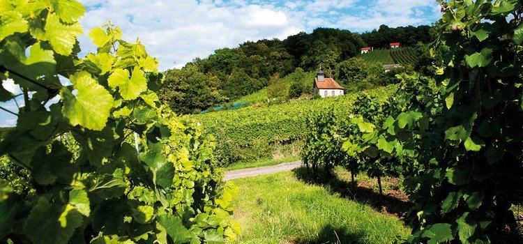
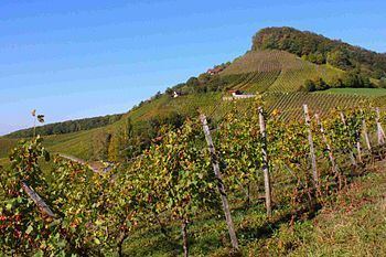
Viticulture
Wine connoisseurs known the Steigerwald from its Franconian wines, which are grown in the west of the region. Well known names include Abtswinder Altenberg, Casteller Bausch, Handthaler Stollberg, Ippesheimer Herrschaftsberg, Bullenheimer Paradies, Wiesenbronner Wachhügel and Ziegelangerer Ölschnabel.
Nature park and nature reserves
Large parts of the Steigerwald have been designated since 1988 as the Steigerwald Nature Park. Around half the nature park area is covered by protected landscapes. On a smaller scale, there are several nature reserves.
In addition there are the protected habitats of 6029-371 Buchenwälder und Wiesentäler des Nordsteigerwalds und 6327-371 Vorderer Steigerwald mit Schwanberg as well as the European Special Protection Areas 6029-471 Oberer Steigerwald und 6327-471 Südlicher Steigerwald.
National park and world heritage discussions
Within the various counties whose territories include the Steigerwald, there have been discussions about take parts of the forest out of use and classifying them as protected areas. Since 2008, there has been controversy over whether certain areas should become a National Park or not. Proponents see this contributing to conservation and increasing tourism. Opponents fear that the designated areas would no longer be used for forestry. Since 15th January 2015 it has been clear that the Steigerwald can no longer be a UNESCO World Heritage Site because the UNESCO nomination process has finished. At a meeting in the Bavarian Parliament with Prime Minister Horst Seehofer, the Bavarian Environment Minister Ulrike Scharf, Forestry Minister Helmut Brunner and the three county councillors of the Schweinfurt (Florian Töpper), Haßberge (Wilhelm Schneider) and Bamberg (Johann Kalb) this was not yet known. The result then was that a working group of representatives of the two ministries and the three county councils would establish the foundations for an application for World Heritage status by the end of January 2015.
According to Töpper, a prerequisite was unity between the parties that there should be no national park in the Steigerwald. Seehofer was to ensure that, by the end of January 2014, a measure adopted by the Bamberg council for a controversial, 775-hectare forest reserve in the Ebrach Forest was withdrawn.
Authority for the disputed protected area was withdrawn in September 2015 because it was determined to be illegal. This 'illegality' was confirmed by the government of Upper Franconia. As a result, on 1 September 2015 the regulation was lifted. According to the legal view of the Government of Upper Franconia the "regulation by the Bamberg Council for the protected landscape of 'the high beech woods in the Ebrach Forest' dated 16 April 2014 was illegal because the regulation was not covered by the enabling provision of § 29 BNatSchG." The Upper Franconian government also recorded that " the High Beech Wood is not a suitable object of protection for a protected landscape area". It is, according to the government "not an object that stands out from the landscape, as the law requires it to be. Therefore the regulation is to be rescinded for legal reasons and also in the interests of legal clarity and legal certainly."