
Elevation −1 m (−3 ft) Postcode 1610–1614 Area 16.42 km² Team VV De Zouaven | Established 1 January 1979 Time zone CET (UTC+1) Website www.stedebroec.nl Local time Monday 4:29 AM Area code 0228 | |
 | ||
Weather 7°C, Wind E at 13 km/h, 85% Humidity | ||
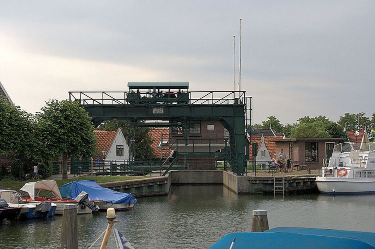
Stede Broec ( pronunciation )(West Frisian: Stee Broek) is a municipality in the Netherlands, in the province of North Holland and the region of West-Frisia. The name Stede Broec derives from "stede" (meaning city) and "broec" (meaning swamp).
Contents
Map of Stede Broec, Netherlands
Population centres
The municipality of Stede Broec consists of the following cities, towns, villages and/or districts: Bovenkarspel, Grootebroek, [ and Lutjebroek.
Dutch topographic map of the municipality of Stede Broec, June 2015
History
Grootebroek and Bovenkarspel together received city rights in 1364, under the name of Broek. In 1402 Lutjebroek shared in the city rights and Hoogkarspel joined in 1403. Andijk was the fifth to join in 1786. In 1825 the city was dissociated.
Stede Broec is located in the region of West Friesland consisting of all the land surrounded by the Westfriese Omringdijk, a dike which then protected the land against the dangers of the tides of the Zuider Zee.
Local government
The municipal council of Stede Broec consists of 19 seats, which are divided as follows (as of March 3rd 2010):