
District Šumperk Elevation 255 m Local time Monday 12:53 AM | Postal code 789 73 Area 6.48 km² Population 142 (2012) | |
 | ||
Weather 0°C, Wind N at 6 km/h, 78% Humidity Points of interest Doubrava, Kačení louka, Bradlec | ||
achov kr l stavenice
Stavenice is a village and municipality (obec) in Šumperk District in the Olomouc Region of the Czech Republic.
Contents
- achov kr l stavenice
- Map of 789 73 Stavenice Czechia
- Steinmetz m hren cz tschechien stavenice 17 4 2014
- References
Map of 789 73 Stavenice, Czechia
The municipality covers an area of 6.48 square kilometres (2.50 sq mi), and has a population of 144 (as at 28 August 2006).
Stavenice lies approximately 20 kilometres (12 mi) south of Šumperk, 30 km (19 mi) north-west of Olomouc, and 186 km (116 mi) east of Prague.
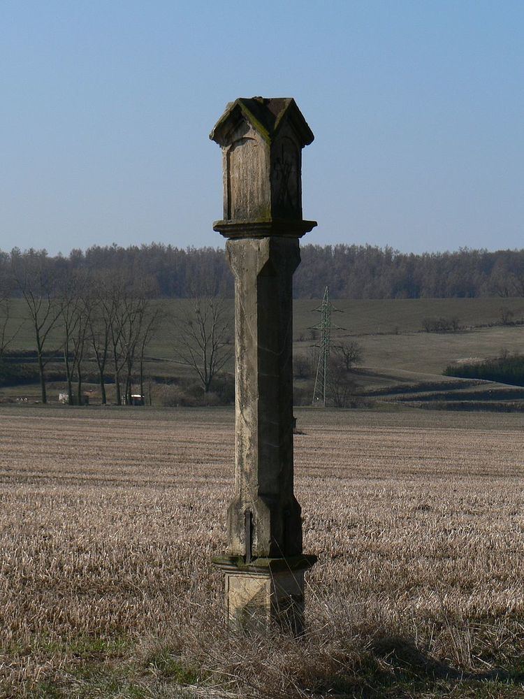
Steinmetz m hren cz tschechien stavenice 17 4 2014
References
Stavenice Wikipedia(Text) CC BY-SA