
Admin. region Freiburg Time zone CET/CEST (UTC+1/+2) Local time Monday 12:18 AM Postal code 79219 Administrative region Freiburg | Elevation 284 m (932 ft) Area 23.26 km² Population 7,685 (31 Dec 2008) Dialling code 07633 | |
 | ||
Weather 9°C, Wind SE at 10 km/h, 67% Humidity | ||
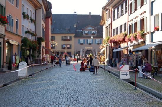
Staufen im Breisgau is a German town in the Breisgau-Hochschwarzwald district of Baden-Württemberg. It has a population of approximately 7,600 inhabitants (2013).
Contents
Map of 79219 Staufen, Germany
General
The city of Staufen im Breisgau lies in the Land district of Breisgau-Hochschwarzwald (Breisgau-Upper Black Forest) in the German State of Baden-Württemberg. The City of Staufen has approximately 7700 inhabitants and forms, together with the community of Münstertal, Black Forest, a community administrative unit.
It is noted in history and culture for its association with Dr Faustus who, according to legend, sold his soul to the Devil at an inn here.
Geography
Staufen lies at the foot of the Black Forest at the exit from the Münstertal. The Black Forest valley of Neumagen goes here directly over into the Rhine plain. The piedmont of the Black Forest is less distinct. North of the valley exit, the steeply rising old castle ruins dominates; to the southwest begins the hilly landscape of the Markgräflerland. Staufen lies on the border between two natural and economic areas: the Rhine plain up to the piedmont with its cultivation of grain, winegrapes and vegetables; and the Black Forest, with its cattle and forestries, and, in an earlier time, mining.
Geothermal drilling controversy
Since 2008, the centre of the city has reported to have risen some 12 cm, after initially sinking a few millimeters. This has caused considerable damage to buildings in the city centre, including the historical town hall. One hypothesis for the cause of this geological change is a drilling operation conducted in the spring of 2007 to provide geothermal heating to the city hall. The drilling perforated an anhydrite layer and caused high-pressure groundwater to come into contact with the anhydrite, which then began to expand. In July 2013, no end to the rising process was in sight. By 2010, some sections of town had risen by 30 cm.
Data from the TerraSAR-X radar satellite before and after the changes have confirmed the localised nature of the situation. "A geochemical process called anhydrite swelling has been confirmed as the cause of these uplifts. This is a transformation of the mineral anhydrite (anhydrous calcium sulphate) into gypsum (hydrous calcium sulphate). A pre-condition for this transformation is that the anhydrite is in contact with water, which is then stored in its crystalline structure".
Infrastructure
Staufen is located next to the Münstertal railway which runs from Bad Krozingen to Münstertal, Black Forest. The railway has been electrified in 2013 and is operated by the Südwestdeutsche Verkehrs-Aktiengesellschaft (SWEG).