Neha Patil (Editor)

Münstertal, Black Forest

Updated on
Edit
Like
Comment
Share on FacebookTweet on TwitterShare on LinkedInShare on Reddit
Country
  
Germany

Admin. region
  
Freiburg

Time zone
  
CET/CEST (UTC+1/+2)

Population
  
5,217 (31 Dec 2008)

Dialling code
  
07636

State
  
Baden-Württemberg

Elevation
  
592 m (1,942 ft)

Area
  
67.73 km²

Local time
  
Thursday 7:42 PM

Münstertal, Black Forest httpssmediacacheak0pinimgcomoriginals20

District
  
Breisgau-Hochschwarzwald

Weather
  
14°C, Wind E at 11 km/h, 62% Humidity

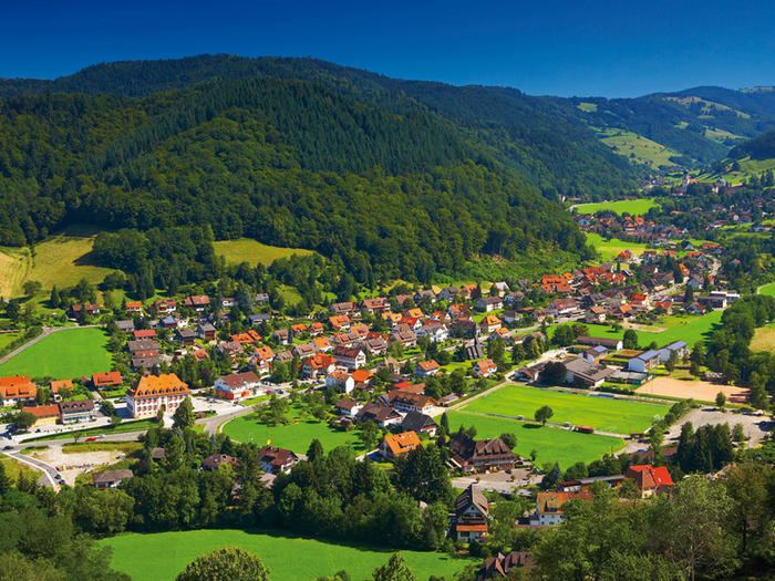
Münstertal is a municipality in the southern Black Forest, which belongs to the district of Breisgau-Hochschwarzwald in Baden-Württemberg in southern Germany. It is 3 miles east from Staufen.

Contents

Map of M%C3%BCnstertal, Germany

Museums

  • Schwarzwaldhaus (Black Forest house), where the documentary film Schwarzwaldhaus 1902 was shot, is a museum about filming and the life of mountain farmers.
  • Bienenkundemuseum (Museum for the study of bees).
  • Teufelsgrund (Devil's Ground) was a silver mine and is today a museum about mining, but there is also an adit used for the treatment of asthma.
  • Buildings

  • St. Trudpert was a benedictine monastery.
  • Scharfenstein (Sharpstone) was a castle whose ruins can be visited in Obermünstertal.
  • References

    Münstertal, Black Forest Wikipedia