
Country Macedonia Time zone CET (UTC+1) Area code(s) +389 031 | Postal code 1303 Area 433.4 km² | |
 | ||
Staro Nagoričane Municipality (Macedonian: Општина Старо Нагоричане ) is a municipality in northern part of Republic of Macedonia. The municipal seat is located at the village Staro Nagoričane. This municipality is part of the Northeastern Statistical Region.
Contents
- Map of Staro Nagorichane Macedonia FYROM
- Geography
- History and culture
- Demographics
- Notable people
- International relations
- References
Map of Staro Nagorichane, Macedonia (FYROM)
Geography
The municipality borders Serbia to the north, Kumanovo Municipality to the west, Kratovo Municipality to the south, and Rankovce Municipality to the east. It largely corresponds to the historical and geographical region of Sredorek.
History and culture
By the 2003 territorial division of the republic, the rural Klečevce Municipality was attached to Staro Nagoričane Municipality.
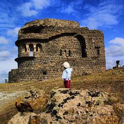
A particularly fine example of medieval Serbian ecclesiastical architecture is found in the municipality, in the form of the 10th century Church of St. George. (See: Serbo-Byzantine style)
Demographics
According to the 2002 Macedonian census, this municipality has 4,840 inhabitants. There were 5,867 inhabitants in 1994. Ethnic groups in the municipality:
Notable people
International relations
Staro Nagoričane is twinned with: