
Area 509.48 km2 Mayor Zoran Damjanovski (SDSM) | Population 105,484 | |
 | ||
Region | ||
Map of Kumanovo Municipality
Kumanovo (Macedonian: Куманово [kuˈmanɔvɔ]; Albanian: Komuna e Kumanovës) is a municipality located in the northern part of Republic of Macedonia. Kumanovo is also the name of the city where the municipal seat is found. Kumanovo Municipality is part of the Northeastern Statistical Region.
Contents
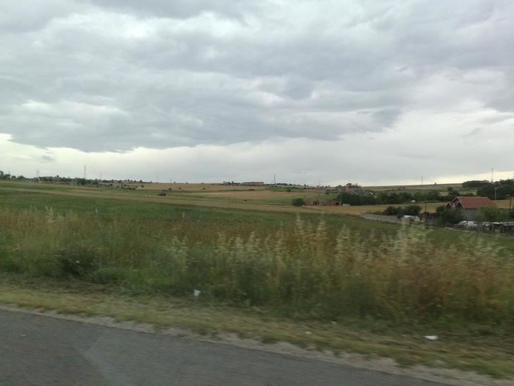
Geography
The municipality has an area of 509,48 km² and borders Lipkovo Municipality, Ilinden Municipality and Aračinovo Municipality to the west, Serbia to the north, Sveti Nikole Municipality and Petrovec Municipality to the south, and Staro Nagoričane Municipality and Kratovo Municipality to the east.
History
By the 2003 territorial division of the republic, Orašac Municipality was merged with Kumanovo as was part of the rural Klečevce Municipality. The other part of Klečevce was attached to Staro Nagoričane Municipality.
Demographics
Without Orašac Municipality, Kumanovo had 94,589 inhabitants in 1994 and 103,205 at the last national census. The population of the former Orašac Municipality was 1,638 in 1994 and 1,252 in 2002. The present-day combined municipality has 105,484 inhabitants, which makes it the most populous municipality in Macedonia.
According to the 2002 census, ethnic groups in the Kumanovo Municipality include:
Inhabited places
There are 48 inhabited places in this municipality, one town and 49 villages.