
Country Ukraine Postal code 48413 Area 3.327 km² | Time zone EET (UTC+2) Area code(s) +380 3544 Local time Sunday 12:09 PM | |
 | ||
Weather 3°C, Wind N at 21 km/h, 78% Humidity | ||
Stari Petlykivtsi (Ukrainian: Старі Петликівці) is a village in the Buchach Raion (district) of the Ternopil Oblast (province) in western Ukraine. 1065 inhabitants lived in the village on 2007.
Contents
Map of Stari Petlykivtsi, Ternopil Oblast, Ukraine
History
First written mention comes from the 15th century. Then belonged to the Polish-Lithuanian Commonwealth, from 1772 until 1918 to Austrian (Habsburg Monarchy, Austrian Empire, Austria-Hungary) empires, in 1918-1919 to West Ukrainian People's Republic. From 1991 belonged to Ukraine.
Reading room of Ukrainian society Prosvita operated in the village.
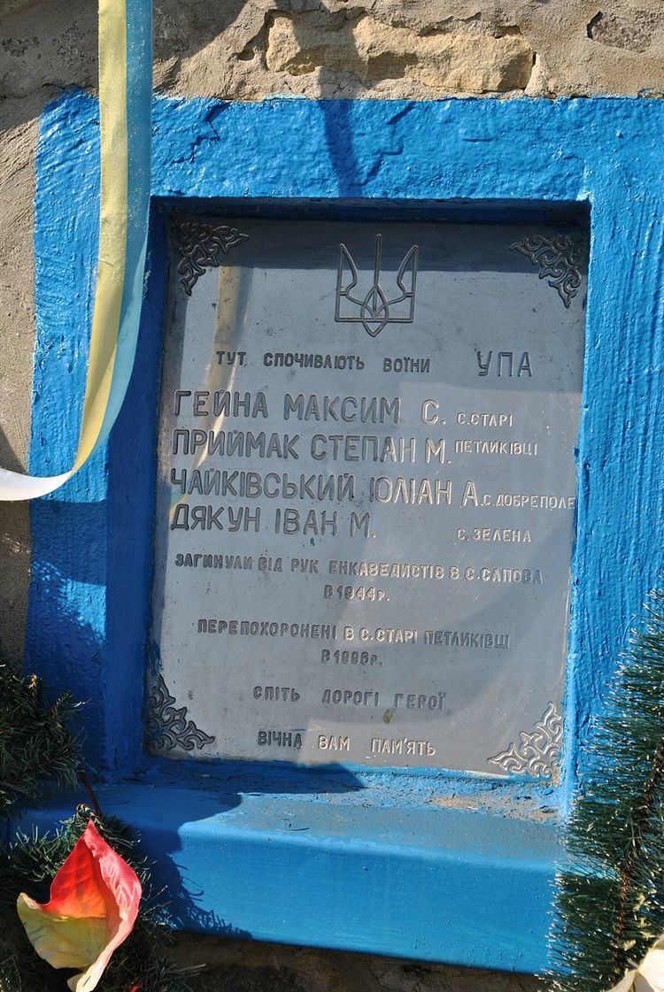
Attractions
References
Stari Petlykivtsi Wikipedia(Text) CC BY-SA