
Town status 1924 Time zone EET (UTC+2) Local time Sunday 9:40 AM | Founded 1144 Elevation 255 m (837 ft) Area 5.07 km² Population 2,338 (2011) | |
 | ||
Weather 3°C, Wind N at 18 km/h, 88% Humidity | ||
Stara Ushytsia (Ukrainian: Стара Ушиця) is an urban-type settlement in the Kamianets-Podilskyi Raion (district) of the Khmelnytskyi Oblast in western Ukraine. The town's population was 2,492 as of the 2001 Ukrainian Census and 2,338 in 2011.
Contents
Map of Stara Ushytsya, Khmelnytska, Ukraine
Geography
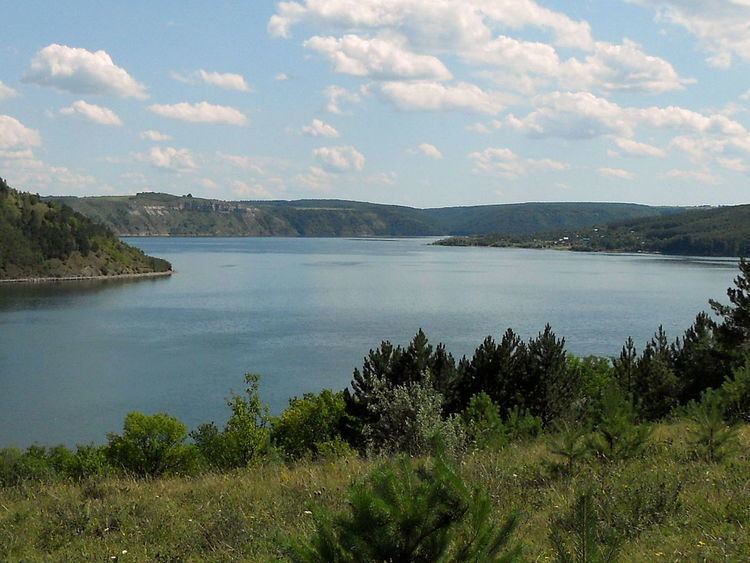
The town is situated on the banks of the Dnister River in the Podolian landscape. It is located near the National Environmental Park "Podilski Tovtry".
History
The settlement was first mentioned in written documents in 1144 as Ushytsia (Ukrainian: Ушиця). Ushytsia was also granted the Magdeburg rights in 1144. In 1826, the settlement was renamed to "Stara Ushytsia" (Old Ushytsia) while the settlement of Litnivtsi was renamed Nova Ushytsia (New Ushytsia).
It was granted the status of an urban-type settlement in 1979. The town houses the Stara Ushytisa Settlement Council, which was founded in 1982. The council administers the town of Stara Ushytsia itself and the village of Horaivka.