
Time zone CET (UTC+1) Area code 0522 | Elevation 1 m (3 ft) Postcode 7715, 7950–7955 | |
 | ||
Demonym(s) Staphorstenaar, Staphorster | ||
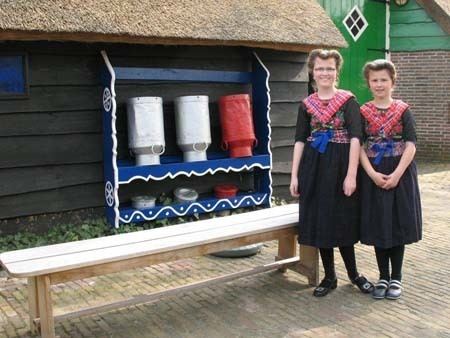
Staphorst ( pronunciation ) is a municipality and a town in the eastern Netherlands.
Contents
Map of Staphorst, Netherlands
History
The villages of Staphorst and its southern neighbour Rouveen came into existence as in the 13th century monks started to bring the bogs and swamps into culture.
All the farms were built along the long road through the bog area. Thus a lengthy row of farms was built, becoming the 11 km (7 mi) long village of Staphorst-Rouveen. This phenomenon is called in Dutch: lintbebouwing (ribbon urbanization). In many parts of the Netherlands this type of village is quite common, e.g. Vriezenveen, the villages along river dykes in the Netherlands, the so-called moor-colonies in the provinces Drenthe and Groningen, as well as the German regions opposite the border.
According to the website goDutch.com in the section of "Excerpts from the Windmill" in the entry for "Staphorst reunion organizers eager to welcome former residents for April 2011 municipal bicentennial", Staphorst was a Dutch municipality, created through a decree by French emperor Napoleon who merged four smaller entities into a much larger one. The 1811 decree merged the villages of Rouveen, Staphorst and IJhorst along with nearby sparsely populated Hasselter schoutambt (a judicial entity) into a municipality, known since 1818 as Staphorst. Except for a few minor changes, Staphorst's borders have remained unchanged, making it an anomaly in Dutch municipal history.
A specialty for Staphorst is, that after a farmer's death, his land was often divided between his sons. The son who didn't inherit his father's farm built a farm-house for his own behind the other. Therefore, many pieces of farmland are very lengthy, yet narrow (e.g. 1500 x 40 metres). Originally, each piece of land was 125 metres wide.
The farms are of the traditional Low Saxon type. They have green doors and window shutters. Most farms existing now were built between 1850 and 1910.
Society
Staphorst is still a largely orthodox Calvinist village and has one of the highest church attendancy rates of the Netherlands. In 1971, Staphorst became world news due to an outbreak of polio. 39 people (mostly children) became infected with polio. Of these, five died and a number of others became disabled. 20% of residents remain unvaccinated for religious reasons. As a result, Staphorst and other similar areas in the Netherlands are classified as risk areas by the WHO – the only such area in Europe.
The Total Fertility Rate (TFR) in Staphorst at 2.76 was 4th highest in all of Netherlands in 2003. That makes Staphorst a place with one of the highest birth rates in all of Europe.
Population centres
Dutch Topographic map of the municipality of Staphorst, June 2015
Demographics (2007)
Staphorst had a sustainable birth rate until the beginning of 21st century. But during the 2000–2007 period, the birth rate dropped considerably.