
Postal index 93600—93655 Founded 1923 | Established 1923 Time zone EET (UTC+2) Area 1,900 km² Population 49,797 (2013) Area code 6472 | |
 | ||
Subdivisions List 0 — city councils 2 — settlement councils16 — rural councilsNumber of localities: 0 — cities 2 — urban-type settlements41 — villages 6 — rural settlements | ||
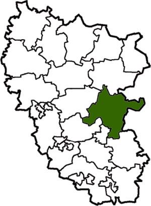
Stanytsia-Luhanska Raion (Ukrainian: Станично-Луганський район) is a raion (district) in Luhansk Oblast of eastern Ukraine. the administrative center of the raion is the urban-type settlement of Stanytsia Luhanska. Population: 49,797 (2013 est.).
Contents
Map of Stanychno-Luhans'kyi district, Luhansk Oblast, Ukraine
On July 2, 2014, this town and Mykolaivka were badly hit; nine civilians were killed. The Ukrainian authorities said the bloodshed happened when rebel forces launched rockets from a Grad rocket launcher; the Grad was later seized by government forces. A resident of the Kondrashovka locality (part of this place) said that an aircraft first targeted an insurgent position nearby, but that its second strike hit the village. The deputy commander of a Ukrainian battalion said the place may have been hit both by the aircraft and by shelling from outside.
Demographics
As of the 2001 Ukrainian Census: