
Elevation 40 m (130 ft) Postal code 93600-93609 Area 14.6 km² Population 13,744 (1 Jan 2011) | Founded 1688 Time zone EET (UTC+2) Area code +380 6472 Local time Sunday 4:28 AM | |
 | ||
Weather 1°C, Wind E at 6 km/h, 70% Humidity | ||
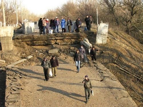
22 11 2014 stanytsia luhanska lugansk front line
Stanytsia Luhanska (Ukrainian: Станиця Луганська; Russian: Станица Луганская) is an urban-type settlement on the banks of the Seversky Donets River in Luhansk Oblast in eastern Ukraine. Population: 13,734 (2013 est.). Stanytsia Luhanska is one of two local foundations of the Don Cossacks in today's Ukraine and the administrative center of the Stanytsia-Luhanska Raion 20 km northeast of Luhansk.
Contents
- 22 11 2014 stanytsia luhanska lugansk front line
- Map of Stanytsia Luhanska Luhansk Oblast Ukraine
- Stanytsia luhanska checkpoint
- Demographics
- References
Map of Stanytsia Luhanska, Luhansk Oblast, Ukraine
Starting Mid-April 2014 pro-Russian separatists captured several towns in Donetsk Oblast; including Stanytsia Luhanska.
On 2 July 2014 not specified planes attacked the village and the village of Kondrashovka. The Ukrainian army denied the airstrike and blamed the damage on faulty shelling by the separatists.
On 21 August 2014, Ukrainian forces reportedly were clearing Stanytsia Luhanska from the pro-Russian separatists. The settlement remained under control of the Ukrainian authorities. It became situated on the frontline with forces representing the Luhansk People's Republic and became regularly the victim of shelling.
Stanytsia luhanska checkpoint
Demographics
Native language as of the Ukrainian Census of 2001: