
Existed: 1837 – present Constructed 1837 | Length 64.4 km | |
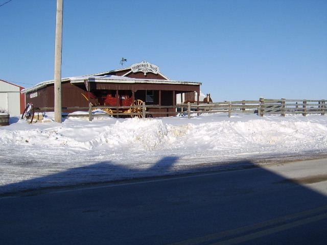 | ||
Stagecoach Trail is a historic route through northern Jo Daviess County and western Stephenson County, in the northwest of Illinois. The trail was a part of the larger Galena–Chicago trail that crossed the entire state.
Contents
- Map of Stagecoach Trail McMinnville TN 37110 USA
- Stagecoach trail mountain biking laguna coast wilderness park
- References
Map of Stagecoach Trail, McMinnville, TN 37110, USA
Stagecoach Trail connects Galena and Lena through the communities of Scales Mound, Apple River, Warren and Nora. It also runs close to the highest point in Illinois, Charles Mound, and the Illinois-Wisconsin border.
The route can be used as an alternative for U.S. Route 20 between Lena and Galena, through picturesque communities and landscapes. Stagecoach rides are offered at several points along the trail. The communities on the Stagecoach Trail, from Lena through Scales Mound feature an annual festival in June.
Stagecoach trail mountain biking laguna coast wilderness park
References
Stagecoach Trail Wikipedia(Text) CC BY-SA