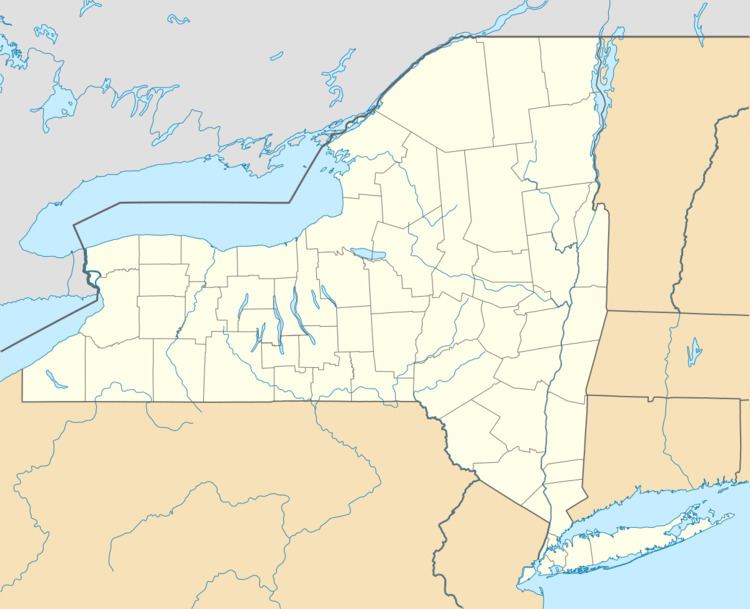
Country United States County Franklin Elevation 1,291 ft (393 m) | State New York Time zone Eastern (EST) (UTC-5) | |
 | ||
St. Regis Falls is a hamlet and census-designated place (CDP) within the town of Waverly, Franklin County, New York, United States. The population of the CDP was 464 at the 2010 census.
Geography
St. Regis Falls is located at the north end of the town of Waverly, along the north side of the St. Regis River, a tributary of the St. Lawrence River. The falls for which the community is named are on the river at the west end of town. According to the United States Census Bureau, the CDP has a total area of 1.29 square miles (3.35 km2), all of it land.
New York State Route 458 passes through the community, leading west 8 miles (13 km) to Nicholville and southeast 6.5 miles (10.5 km) to Santa Clara. Potsdam is 23 miles (37 km) to the west via Routes 458 and 11B, while Paul Smiths is 26 miles (42 km) to the southeast via Routes 458 and 30.
The northern border of the CDP follows the Waverly/Dickinson town line.
Saint Regis Falls Central School is located in the northern part of the CDP, serving the town of Waverly and surrounding towns.
