
Country United States FIPS code 36-20610 Elevation 283 m Population 823 (2010) | State New York Time zone Eastern (EST) (UTC-5) GNIS feature ID 0978904 Local time Tuesday 1:01 AM | |
 | ||
Weather 2°C, Wind SE at 16 km/h, 72% Humidity Area 114.8 km² (114.5 km² Land / 23 ha Water) | ||
Dickinson is a town in Franklin County, New York, United States. The population was 823 at the 2010 census. The town was named after an individual in New Jersey by an early landowner from that state.
Contents
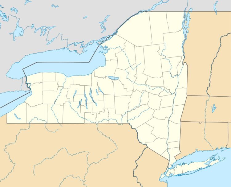
- Map of Dickinson NY 12930 USA
- History
- Geography
- Demographics
- Communities and locations in Dickinson
- Notable people
- References
Map of Dickinson, NY 12930, USA
Dickinson is on the western border of Franklin County, southwest of Malone and east of Potsdam.
History
The name originally proposed for the area was "Annastown", after the daughter of a landowner, but another influential landowner prevailed with the current name.
The town of Dickinson was formed from the town of Malone in 1809. In 1812, part of Dickinson was used to form the town of Bangor. The creation of the town of Moira in 1828 cost Dickinson more territory. When the town of Waverly was established in 1880, additional territory was lost.
In 1843, conversions to the Mormon religion and migration westward occurred in the town due to relatives of a Mormon apostle living there.
Geography
According to the United States Census Bureau, the town has a total area of 44.3 square miles (114.8 km2), of which 44.2 square miles (114.5 km2) is land and 0.1 square miles (0.2 km2), or 0.20%, is water.
The west town line is the border of St. Lawrence County. The town is located along the northern edge of the Adirondacks.
New York State Route 11B is an east-west highway.
Demographics
As of the census of 2000, there were 739 people, 293 households, and 217 families residing in the town. The population density was 16.7 people per square mile (6.4/km²). There were 424 housing units at an average density of 9.6 per square mile (3.7/km²). The racial makeup of the town was 97.56% White, 0.41% African American, 1.22% Native American, 0.14% Asian, and 0.68% from two or more races. Hispanic or Latino of any race were 0.41% of the population.
There were 293 households out of which 29.7% had children under the age of 18 living with them, 57.7% were married couples living together, 8.9% had a female householder with no husband present, and 25.9% were non-families. 20.1% of all households were made up of individuals and 8.2% had someone living alone who was 65 years of age or older. The average household size was 2.52 and the average family size was 2.88.
In the town, the population was spread out with 24.6% under the age of 18, 6.5% from 18 to 24, 27.3% from 25 to 44, 26.4% from 45 to 64, and 15.2% who were 65 years of age or older. The median age was 39 years. For every 100 females there were 107.0 males. For every 100 females age 18 and over, there were 101.8 males.
The median income for a household in the town was $31,711, and the median income for a family was $34,875. Males had a median income of $27,083 versus $22,039 for females. The per capita income for the town was $15,701. About 11.2% of families and 16.5% of the population were below the poverty line, including 30.1% of those under age 18 and 15.4% of those age 65 or over.