
Country United States FIPS code 36-65178 Elevation 484 m Population 345 (2010) Area code 518 | State New York Time zone Eastern (EST) (UTC-5) GNIS feature ID 0979459 Zip code 12980 Local time Tuesday 6:34 PM | |
 | ||
Weather 2°C, Wind SW at 14 km/h, 82% Humidity Area 496.5 km² (451.7 km² Land / 44.81 km² Water) | ||
Santa Clara is a town in Franklin County, New York, United States. The population was 345 at the 2010 census. The name was derived from the wife of an early town businessman, John Hurd.
Contents
- Map of Santa Clara NY 12980 USA
- History
- Geography
- Demographics
- Communities and locations in Santa Clara
- References
Map of Santa Clara, NY 12980, USA
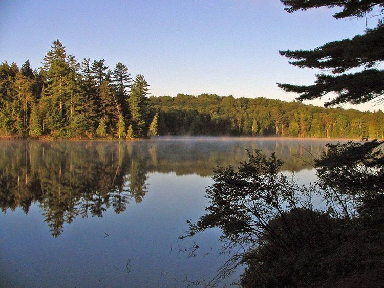
The town is in the southwest part of the county, southwest of the village of Malone and west of the village of Saranac Lake. The town is within the Adirondack Park. It includes the 58 ponds of the Saint Regis Canoe Area, presently the only Canoe Wilderness Area in the park, as well as most of 4,700-acre (19 km2) Upper Saranac Lake.
History
The town of Santa Clara was formed from part of the town of Brandon in 1888. An addition from Brandon was added to Santa Clara in 1896.
William Rockefeller began buying property in the town around 1896 in order of establish an estate, used by members of his family during the summer.
The St. Regis Mountain Fire Observation Station was listed on the National Register of Historic Places in 2005.
Geography
According to the United States Census Bureau, the town has a total area of 191.7 square miles (496.5 km2), of which 174.4 square miles (451.7 km2) is land and 17.3 square miles (44.8 km2), or 9.02%, is water.
Santa Clara is the second largest town in the county. The south part of the town is dominated by numerous lakes.
New York State Route 458 is a north-south highway in Santa Clara. New York State Route 30 crosses the south part of the town.
The St. Regis River, a north-flowing tributary of the St. Lawrence River, flows out the west town line.
Demographics
As of the census of 2000, there were 395 people, 155 households, and 119 families residing in the town. The population density was 2.3 people per square mile (0.9/km²). There were 953 housing units at an average density of 5.4 per square mile (2.1/km²). The racial makeup of the town was 96.20% White, 0.25% African American, 1.77% Native American, 0.25% Asian, 0.76% from other races, and 0.76% from two or more races.
There were 155 households out of which 31.6% had children under the age of 18 living with them, 63.2% were married couples living together, 9.0% had a female householder with no husband present, and 22.6% were non-families. 20.0% of all households were made up of individuals and 8.4% had someone living alone who was 65 years of age or older. The average household size was 2.55 and the average family size was 2.90.
In the town, the population was spread out with 25.1% under the age of 18, 4.3% from 18 to 24, 23.5% from 25 to 44, 31.1% from 45 to 64, and 15.9% who were 65 years of age or older. The median age was 43 years. For every 100 females there were 110.1 males. For every 100 females age 18 and over, there were 105.6 males.
The median income for a household in the town was $42,083, and the median income for a family was $45,750. Males had a median income of $30,000 versus $24,688 for females. The per capita income for the town was $19,683. About 8.3% of families and 7.4% of the population were below the poverty line, including 10.5% of those under age 18 and 6.6% of those age 65 or over.