
County Fond du Lac ZIP codes 53049, 54937 Elevation 324 m Local time Saturday 12:39 AM | Time zone Central (CST) (UTC-6) GNIS feature ID 1573503 Population 1,489 (2010) Area code 920 | |
 | ||
Weather 2°C, Wind NE at 19 km/h, 86% Humidity Area 9.409 km² (9.396 km² Land / 1 ha Water) | ||
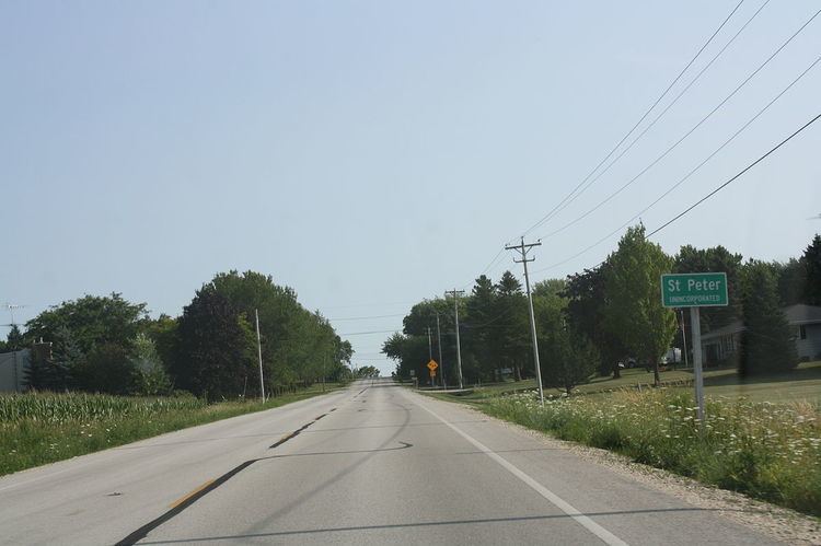
St. Peter, Wisconsin is an unincorporated census-designated place in the Town of Taycheedah in Fond du Lac County, Wisconsin. It is located approximately 2 miles (3.2 km) northeast of Peebles and 1 mile (1.6 km) south of Silica. It was located on Wisconsin Highway 149 before the highway was decommissioned and turned over to county control as County Highway WH. As of the 2010 census, its population is 1,489.
Contents
Map of St Peter, Taycheedah, WI 53049, USA
Holyland
St. Peter is in an area of eastern Fond du Lac County, Wisconsin known as "The Holyland", so called because of the large number of communities built around churches, including St. Anna, St. Cloud, Marytown, Mount Calvary, Johnsburg, Calvary, Brothertown and Jericho.
References
St. Peter, Wisconsin Wikipedia(Text) CC BY-SA