 | ||
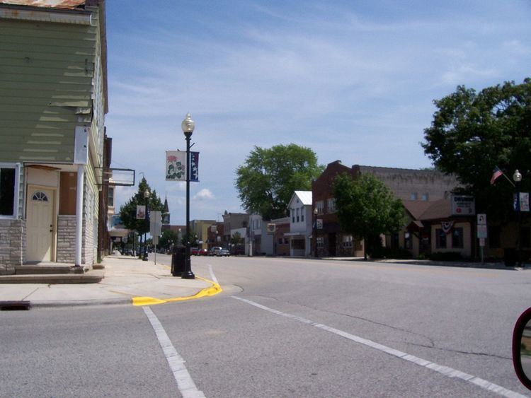
State Trunk Highway 149 (often called Highway 149, STH 149 or WIS 149) was a state highway in the U.S. state of Wisconsin. It ran through Manitowoc, Calumet, and Fond du Lac counties.
Map of State Hwy 149, St Cloud, WI 53079, USA
The highway had three routes, all east–west. It originally ran from an eastern terminus in Cleveland west to Kiel. The second route saw the western terminus moved from Kiel to Peebles. The last route changed the east terminus from Cleveland to Kiel. Nearly all of that former portion of the highway from Cleveland to Kiel became County XX.
The road was turned back to local control in 2006. The highway designated as multiple county routes. County HH was extended from Marytown to Kiel, Fond du Lac County G took over primary signage on the portion concurrent with the highway (from Marytown to just west of St. Joe), and Fond du Lac County created County WH for the remainder.
