
Country United States County Fond du Lac Zip codes 53061 Elevation 294 m | State Wisconsin Time zone Central (CST) (UTC-6) Area code(s) 920 Local time Tuesday 4:38 AM | |
 | ||
Weather -12°C, Wind N at 18 km/h, 66% Humidity | ||
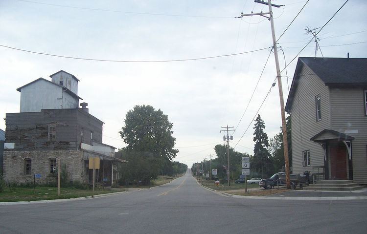
Marytown, Wisconsin is an unincorporated community in Fond du Lac County, Wisconsin, in the town of Calumet. Marytown is located at the intersection of Fond du Lac County highways G and HH. Wisconsin Highway 149 ran north to south through the community before it was decommissioned in 2006.
Contents
Map of Marytown, WI 53061, USA
Holyland
Marytown is in an area of eastern Fond du Lac County, Wisconsin known as "The Holyland", so called because of the large number of communities built around churches, including St. Anna, St. Peter, St. Cloud, Mount Calvary, Johnsburg, Calvary, Brothertown and Jericho.
A recognizable feature in Marytown is St. Mary's Roman Catholic Church, which is located at the peak of the largest hill in the area. The church is lit at night, and can be see from several miles away (depending on the terrain).
History
A post office was established in Marytown in 1854, but was later closed.
On July 18, 1996, several houses at the north end of Marytown were destroyed and one person killed by a tornado. This was part of a statewide outbreak of tornadoes on the same day as the Oakfield Tornado.