
Basin countries Canada Max. width 9.9 km (6.2 mi) Average depth 10.4 m (34 ft) Area 37.5 km² Length 7.9 km Province Alberta | Max. length 7.9 km (4.9 mi) Surface area 37.5 km (14.5 sq mi) Surface elevation 1,100 m Mean depth 10 m Width 9.9 km | |
 | ||
Location Cardston County, Alberta | ||
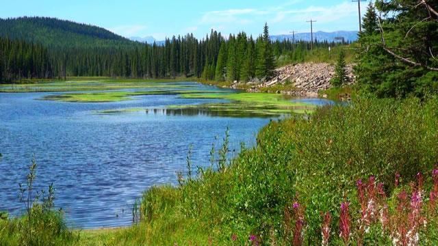
St. Mary Reservoir is a reservoir in southwestern Alberta, Canada. It was created for irrigation purposes by the damming of the St. Mary River, which was completed in 1951. The Kainai Nation's Blood 148 Indian reserve borders its northwest side. There are camping and picnic areas at the reservoir, and it is a popular site for power boating, water skiing, windsurfing, swimming and fishing.
Contents
- Map of St Mary Reservoir Alberta Canada
- AgeEdit
- PaleoenvironmentEdit
- PaleontologyEdit
- ArchaeologyEdit
- References
Map of St Mary Reservoir, Alberta, Canada
In 1998 St. Mary Reservoir became an important site for late Pleistocene to early Holocene paleontology and archaeology when it was partially drained for the construction of a new spillway. Flooding of the reservoir had killed the vegetation and when the water level dropped, wind erosion removed layers of unprotected sand and silt, exposing trackways and bones of extinct mammals, as well as stone tools used by Paleoindian hunters.
AgeEdit
Based on radiocarbon dating of faunal remains, the assemblage preserved at St. Mary Reservoir were dated from about 11 000 years ago (11 to 11.35 kiloanna (ka) before present (B.P.)). This placed it in latest Pleistocene to earliest Holocene time. Re-examined in 2015, the dating for the camel, horse, and muskox bones subsequently changed this figure to 13.1 - 13.3 ka B.P.
PaleoenvironmentEdit
Eleven thousand years ago the Laurentide ice sheet had recently retreated from the area and the site was a windswept, semi-arid plain covered with grasses and low shrubby vegetation, similar to the mammoth steppes of Europe and Asia. The rich open grassland and the reliable supply of water at the river supported herds of large, late Pleistocene mammals and other animals.
PaleontologyEdit
The fossil assemblage includes skeletal remains of the extinct horse Equus conversidens, the extinct musk ox Bootherium bombifrons, the extinct bison Bison antiquus, the extant caribou Rangifer tarandus, the extant badger Taxidea taxus and other mustelids, as well as canids and ground squirrels.
Footprints and trackways preserved in silt include those of the extinct elephant Mammuthus primigenius and the extinct camel Camelops hesternus, in addition to those of horse, bison and caribou. Some of the trackways show evidence of browsing, herding, and social interaction.
ArchaeologyEdit
The herds of animals and the reliable supply of water attracted Paleoindian hunters, and the artifacts recovered from the site suggest that it was a hunting locality. Most of the material consists of stone flakes and flake fragments. A stone chopper, a biface fragment and a few flake tools have been found associated with remains of horse and musk ox. There are also Clovis points with preserved residue of horse and bison protein.