
Time zone AST (UTC-4) NTS Map 011L06 Area 80.61 km² Population 1,253 (2006) Area code 902 | Canadian Postal code C0B GNBC Code BAERK Local time Monday 8:38 AM | |
 | ||
Weather -8°C, Wind W at 18 km/h, 85% Humidity Parish Egmont Parish, Prince Edward Island | ||
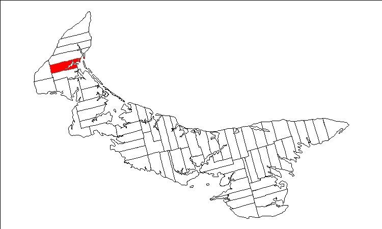
Lot 5 is a township in Prince County, Prince Edward Island, Canada created during the 1764-1766 survey of Samuel Holland. It is part of Egmont Parish.
Contents
Map of Lot 5, PE, Canada
Communities
Incorporated municipalities:
Civic address communities:
History
Lot 5 was awarded to Edward Lewis in the 1767 land lottery while Lewis was the Member of Parliament (MP) for Radnor. The township became jointly owned with John Hill in 1779 and subsequently went through various owners under feudalism when Prince Edward Island was a British colony prior to Canadian Confederation.
References
Lot 5, Prince Edward Island Wikipedia(Text) CC BY-SA