
Country United States FIPS code 23-65025 Elevation 378 m Population 485 (2010) Area code 207 | Time zone Eastern (EST) (UTC-5) GNIS feature ID 0582708 Zip code 04774 Local time Friday 1:03 PM | |
 | ||
Weather 3°C, Wind NE at 8 km/h, 41% Humidity Area 78.63 km² (77.49 km² Land / 114 ha Water) | ||
St. Francis is a town in Aroostook County, Maine, United States on the Canada–United States border at the junction of the St. Francis River and the Saint John River. The population was 485 at the 2010 census. First settled by English speakers from southern Maine, the original population has been supplanted by French-speaking Acadians.
Contents
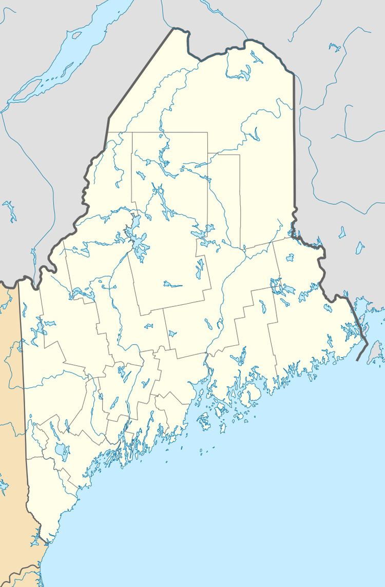
Map of St Francis, ME, USA
Geography
According to the United States Census Bureau, the town has a total area of 30.36 square miles (78.63 km2), of which 29.92 square miles (77.49 km2) is land and 0.44 square miles (1.14 km2) is water.
2010 census
As of the census of 2010, there were 485 people, 234 households, and 143 families residing in the town. The population density was 16.2 inhabitants per square mile (6.3/km2). There were 316 housing units at an average density of 10.6 per square mile (4.1/km2). The racial makeup of the town was 96.9% White, 1.9% Native American, and 1.2% from two or more races. Hispanic or Latino of any race were 0.6% of the population.
There were 234 households of which 19.2% had children under the age of 18 living with them, 49.6% were married couples living together, 8.1% had a female householder with no husband present, 3.4% had a male householder with no wife present, and 38.9% were non-families. 33.8% of all households were made up of individuals and 11.5% had someone living alone who was 65 years of age or older. The average household size was 2.07 and the average family size was 2.61.
The median age in the town was 51.3 years. 15.1% of residents were under the age of 18; 4.2% were between the ages of 18 and 24; 21.2% were from 25 to 44; 36.8% were from 45 to 64; and 22.5% were 65 years of age or older. The gender makeup of the town was 50.1% male and 49.9% female.
2000 census
As of the census of 2000, there were 577 people, 236 households, and 172 families residing in the town. The population density was 19.4 people per square mile (7.5/km²). There were 336 housing units at an average density of 11.3 per square mile (4.4/km²). The racial makeup of the town was 100.00% White.
There were 236 households out of which 26.7% had children under the age of 18 living with them, 59.3% were married couples living together, 9.7% had a female householder with no husband present, and 26.7% were non-families. 24.6% of all households were made up of individuals and 14.0% had someone living alone who was 65 years of age or older. The average household size was 2.44 and the average family size was 2.83.
In the town, the population was spread out with 20.8% under the age of 18, 8.1% from 18 to 24, 23.9% from 25 to 44, 28.1% from 45 to 64, and 19.1% who were 65 years of age or older. The median age was 43 years. For every 100 females there were 93.0 males. For every 100 females age 18 and over, there were 94.5 males.
The median income for a household in the town was $25,125, and the median income for a family was $35,333. Males had a median income of $24,688 versus $20,469 for females. The per capita income for the town was $13,496. About 3.8% of families and 7.7% of the population were below the poverty line, including none of those under age 18 and 16.3% of those age 65 or over.
Education
There is one school, which is called St. Francis Elementary School, and is part of the Maine School Administrative District 27.