
Area 8.2 sq mi (21 km) OS grid reference TL113071 | Population 477 (2011) Civil parish St Michael Dialling code 01727 | |
 | ||
St Michael is a civil parish part of the City and District of St Albans in Hertfordshire, England. From 1894 to 1974 the parish was known as St Michael Rural. The population in 2001 was 494. The local council is St Michael Parish Council.
Contents
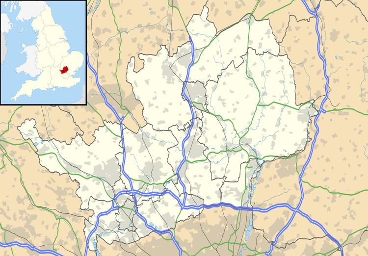
Map of Saint Michael, UK
History
St Michael was an ancient parish. Part of the parish was within the Municipal Borough of St Albans until 1894, when it was split to create St Michael Urban in the borough and St Michael Rural outside. St Michael Rural became part of St Albans Rural District.
Parts of St Michael Rural were transferred to the borough of St Albans in 1913 (138 acres) and 1935 (890 acres).
On 1 April 1974 the parish of St Michael Rural was split with part going to the unparished area in Dacorum and the rest becoming the parish of St Michael in the City of St Albans district.
Geography
It comprises a wholly rural area to the west of St Albans and is bounded on its western side by Hemel Hempstead. The parish is bisected by the M1 motorway.
Settlement is dispersed across a number of small and isolated hamlets: