
Country India District Hooghly Lok Sabha constituency Sreerampur Area 44.8 km² | State West Bengal Time zone IST (UTC+5:30) Vidhan Sabha constituency Sreerampur, Uttarapara Literacy 68.1% | |
 | ||
Sreerampur Uttarpara is a community development block that forms an administrative division in Srirampore subdivision of Hooghly district in the Indian state of West Bengal.
Contents
Overview
Hooghly district forms a part of the flat alluvial plains of the lower Gangetic delta. It lies on the western bank of the Hooghly, a distributary of the Ganges. The river bank of the Hooghly is heavily industrialised. The Dwarakeswar, in the western part of the district, forms the dividing line between the uplands and the plains. It is subsequently joined by the Shilabati to form the Rupnarayan, flowing along the western boundary of the district. The Damodar intersects the district. Human intervention in the form of construction of roads and railways and flood control measures have affected the topography. Urbanisation and industrialisation has altered land use pattern of the district. With a very high density of population (1,601 per km2), about 66% of the population live in the rural areas. In 2001, Hindus formed 83.63% of the population followed by Muslims, who formed 15.14% of the population. The Scheduled Castes and Scheduled Tribes together constituted 43% of the population.
Location
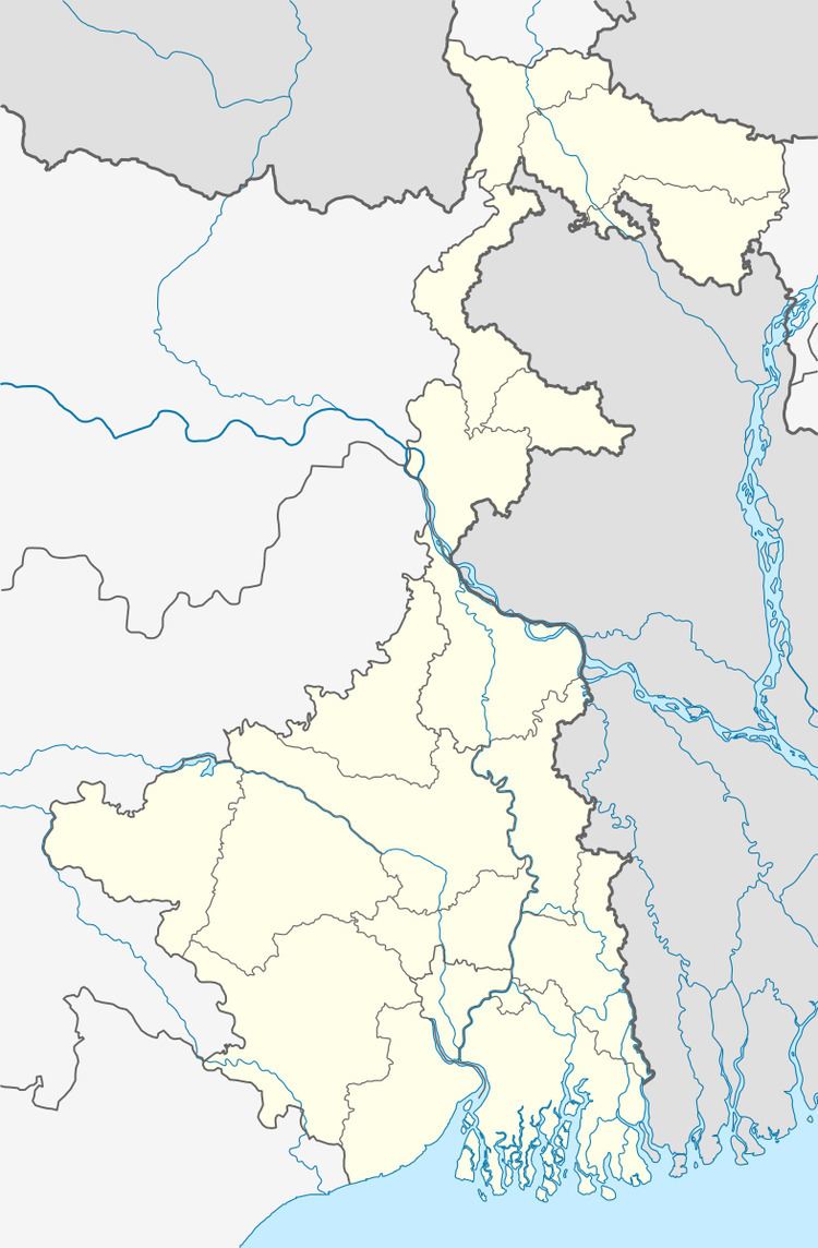
Nabagram, a constituent panchayat of Sreerampur-Uttarpara block, is located at 22°42′18″N 88°20′07″E.
Sreerampur Uttarpara CD Block is bounded by Chinsurah Mogra CD Block in the north, Barrackpore II CD Block in North 24 Parganas district, across the Hooghly, in the east, Bally Jagachha CD Block, in Howrah district, in the south and Chanditala II, Singur and Polba Dadpur CD Blocks in the west.
It is located 29 km from Chinsurah, the district headquarters.
Area and administration
Sreerampur Uttarpara CD Block has an area of 44.80 km2.Serampur and Dankuni police stations serve this CD Block. Sreerampur Uttarpara panchayat samity has 5 gram panchayats. The block has 15 inhabited villages. Headquarters of this block is at Serampore.
Gram panchayats
Gram panchayats of Sreerampur-Uttarpara block/ panchayat samiti are: Kanaipur, Nabagram, Pearapur, Raghunathpur, Rajyadharpur and Rishra.
Population
As per 2011 Census of India, Serampur Uttarpara CD Block had a total population of 152,266, of which 36,389 were rural and 115,877 were urban. There were 77,725 (51%) males and 74,541 (49%) females. Population below 6 years was 13,794. Scheduled Castes numbered 35,086 and Scheduled Tribes numbered 1,246.
As per 2001 census, Sreerampur-Uttarpara block had a total population of 126,337, out of which 65,277 were males and 61,060 were females. Sreerampur-Uttarpara block registered a population growth of -3.26% during the 1991-2001 decade. Decadal growth for Hooghly district was 15.72%. Decadal growth in West Bengal was 17.84%.
Census Towns and large villages added
Census Towns in Sreerampur Uttarpara CD Block (2011 census figures in brackets): Belumilki (10,998), Dakshin Rajyadharpur (11,254), Rishra (16,504), Bamunari (6,266), Nawapara (7,262), Nabagram Colony (18,358), Basai (8,772), Kanaipur (26,814) and Raghunathpur (9,650).
Large villages in Sreerampur Uttarpara CD Block (2011 census figures in brackets): Piarapur (4,167), Ghoramara (4,284) and Mollarber (6,006).
Literacy
As per 2011 census the total number of literates in Sreerampur Uttarpara CD Block was 120,932 (87.33% of the population over 6 years) out of which 64,513 (53%) were males and 56,419 (47%) were females.
As per 2011 census, literacy in Hooghly district was 81.80%. Literacy in West Bengal was 77.08% in 2011. Literacy in India in 2011 was 74.04%.
As per the 2001 census, Sreerampur-Uttarpara block had a total literacy of 68.09 per cent. While male literacy was 83.84 per cent, female literacy was 69.91 per cent.
See also – List of West Bengal districts ranked by literacy rate
Language
Bengali is the local language in these areas.
Religion
In 2011 census Hindus numbered 137,245 and formed 90.14% of the population in Sreerampur Uttarpara CD Block. Muslims numbered 13,863 and formed 9.10% of the population. Others numbered 1,158 and formed 0.76% of the population.
In 2011, Hindus numbered 4,574,569 and formed 82.89% of the population in Hooghly district. Muslims numbered 870,204 and formed 15.77% of the population. In West Bengal Hindus numbered 64,385,546 and formed 70.53% of the population. Muslims numbered 24,654,825 and formed 27.01% of the population.
Human Development Report
The first wave of industrialisation (in Hooghly district, as well as the region) came with the establishment of jute mills along the banks of the Hooghly River long back in the British era. The district has moved from an overwhelmingly rural society with a mere 14.92% of the population living in urban areas in 1901 to a more urban society with 33.47% of the population living in urban areas in 2001. Increasing urbanisation has opened up a broader range of livelihood opportunities. However, in 12 out of the 18 community development blocks in the district the entire population continued to live in the rural areas in 2001. The district presents a unique picture of 12 municipalities surrounded by rural areas.
In the rural areas of the district while 14.95% of the total workers were cultivators, agricultural labourers were 24.31%, thereby indicating the huge pressure on land that outstrips its ownership. In Sreerampur Uttarpara CD Block, while cultivators were 2.94% of the total workers, agricultural labourers formed 6.31%. Household workers formed 4.47% and other workers 86.28%. This is an urbanised CD Block with the percentage of other workers being very high. Up to 30.11.2006 a total of 5,260 hectares of vested agricultural land was distributed amongst 71,643 persons in Hooghly district. Amongst different categories of workers engaged in agriculture in Sreerampur Uttarpara CD Block 14.66% were bargadars, 3.48% patta (ownership document) holders, 11.05% small farmers, 34.96% marginal farmers and 49.45% agricultural workers in 2001.
Agricultural activities or cultivation is divided into two categories: crop cultivation and plantation (orchards). There is a general belief that plantations are more remunerative. In Sreerampur Uttarpara CD Block 44.53% of the land is used for crop cultivation and 3.35% for orchards. In Sreerampur Uttarpara CD Block 49.17% of the land is sown more than once, this being the lowest amongst all the CD Blocks in Hooghly district. Sreerampur Uttarpara CD Block produced 1,840 tonnes of Aman paddy from 920 hectares, 2,260 tonnes of Boro paddy from 912 hectares, 1,540 tonnes of Jute from 100 hectares and 580 tonnes of potatoes from 25 hectares in 2005-06. In Sreerampur Uttarpara CD Block out of the total cultivated area of 2,339 hectares 400 hectares is drought prone and 1,500 hectares is flood prone. The irrigation system in Hooghly district is based on five rivers: Bhagirathi, Damodar, Mundeswari, Darakeswar and Sankari. Erosion of the river banks of these rivers pose a problem in many areas, particularly the Khanakul area.
Hooghly district has the distinction of all mouzas (villages) being electrified by 2005. In Sreerampur Uttarpara CD Block all 19 mouzas were electrified even earlier. However, in Sreerampur Uttarpara CD Block 60.44% of households owned houses with electricity and 68.36% households owned houses with toilets in 2001.
In the rural areas of Hooghly district there are wide variations amongst the CD Blocks regarding families living below poverty line (BPL). The data provided in the table given below is based on a household survey for BPL list carried out by the state government in 2005.
Infrastructure
Sreerampur Uttarpara CD Block had 1,310 hectares of canals. In Sreerampur Uttarpara CD Block 1,011.76 hectares was the nett area under effective pisiculture and 5,292 persons were engaged in the profession. Approximate annual production in 2003-04 was 43,597.8 qtl. In 2003-04 Sreerampur Uttarpara had 10.00 km of surfaced roads under PWD, 67.20 km surfaced roads under Zilla Parishad and 95.25 km unsurfaced roads under Zilla Parishad.
Hindustan Motors at Uttarpara
Hindustan Motors started operations at Uttarpara in 1948. The Ambassador was the best known amongst its models. It declared suspension of work at its Uttarpara plant on 24 May 2014.
Transport
Sreerampur Uttarpara CD Block has 5 originating/ terminating bus routes.
Education
In 2003-04, Sreerampur Uttarpara CD Block had 78 primary schools with 15,551 students, 12 high schools with 4,100 students and 3 higher secondary schools with 2,674 students. Sreerampur Uttarpara CD Block had 1 general college with 1,591 students, and 118 institutions with 3,727 students for special and non-formal education.
Healthcare
Sreerampur Uttarpara CD Block had 1 hospital, 2 health centres, 23 clinics and 2 dispensaries with 8 beds and 2 doctors in 2003.