
 | ||
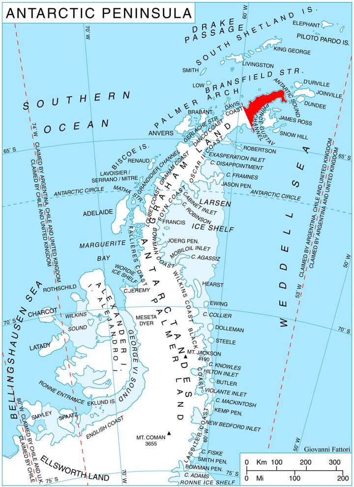
Srednogorie Heights (Bulgarian: Средногорски възвишения, ‘Srednogorski Vazvisheniya’ sre-dno-'gor-ski v&z-vi-'she-ni-ya) are the heights rising to 1220 m (Mount Ignatiev) on the northwest side of Trinity Peninsula, Antarctic Peninsula. Situated east of Bone Bay, west of Louis-Philippe Plateau, north of Russell West Glacier and south of Malorad Glacier. Extending 7.5 km in east-west direction and 7 km in north-south direction.
Contents
Map of Srednogorie Heights, Antarctica
The heights are named after Sredna Gora Mountains in central Bulgaria.
Location
Srednogorie Heights are located at 63°37′00″S 58°42′30″W. German-British mapping in 1996.
Maps
References
Srednogorie Heights Wikipedia(Text) CC BY-SA