
Elevation 1,603 m | ||
 | ||
Similar | ||
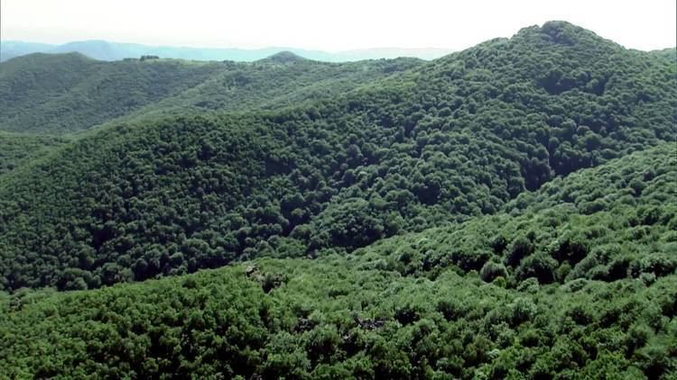
Sredna Gora (Bulgarian: Средна гора) is a mountain range in central Bulgaria, situated south of and parallel to the Balkan mountain range (Stara Planina) and extending from the Iskar River to the west and the elbow of Tundzha north of Yambol to the east. Sredna Gora is 285 km long, reaching 50 km at its greatest width. Its highest peak is Golyam Bogdan at 1,604 m (5,262 ft).
Contents
Map of Sredna Gora, 4304, Bulgaria
The mountain is divided into three parts by the rivers Topolnitsa and Stryama — a western (Zapadna or Ihtimanska Sredna Gora), a central (Sashtinska Sredna Gora) and an eastern part (Sarnena Gora).
The fauna of Sredna Gora is relatively poor compared to other regions of Bulgaria, with typical Central European species being present.
Prehistoric mine
The copper ore used for the manufacture of the Varna culture artifacts originated from a Sredna Gora mine near Stara Zagora. Varna culture flourished in 4400-4100 BC.
Honour
Srednogorie Heights on Graham Land in Antarctica are named after Sredna Gora.